Gauge Conditions
Runnable: 250.0 – 2,000.0 CFS
Range for best boatability uncertain. Please help your fellow paddlers by providing a comment or report.
Data from American Whitewater & USGS
Photo
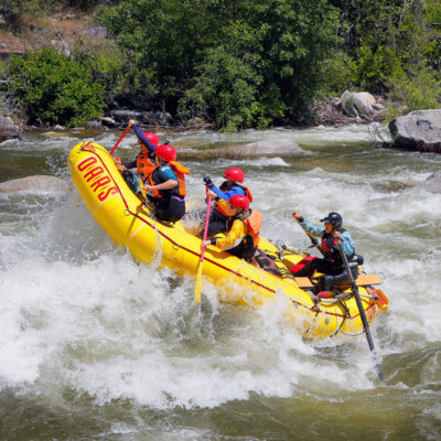
Photo courtesy of American Whitewater
Description
Take Out is a marginal rapid located in an urban drainage section between Interstate highways, likely with limited flow and potential hazards from urban debris and infrastructure. Due to limited documented information, paddlers should exercise extreme caution, scout thoroughly, and be prepared for unpredictable conditions typical of modified creek environments.
Location
Other Rapids on This Run (1)
View Full Run
I-15 to I-5
Los Penasquitos Creek
III+(V+)
9.0 mi
Current Conditions
5-Day Forecast
Whitewater data from
American Whitewater
American Whitewater