Gauge Conditions
Runnable: 2,000.0 – 10,000.0 CFS
Upper limit for best boatability uncertain. Please help your fellow boaters with a comment or report.
Data from American Whitewater & USGS
Photo
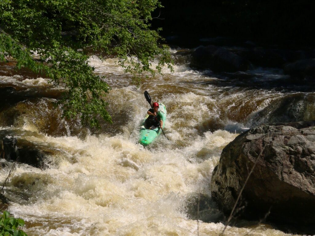
Photo courtesy of American Whitewater
Description
Take Out rapid on Jimmies Creek appears to be minimally documented, with limited information available about its specific characteristics. Given its location near the I-26 to Tyger River section, paddlers should approach with caution and scout the rapid thoroughly before attempting, as local conditions and water levels can significantly impact navigability and potential hazards.
Location
Other Rapids on This Run (1)
View Full Run
I-26 to Tyger River
Jimmies Creek
I-III
6.4 mi
Current Conditions
5-Day Forecast
Whitewater data from
American Whitewater
American Whitewater