Gauge Conditions
Runnable: 400.0 – 2,000.0 CFS
Unconfirmed; probably too low. (Help your fellow boaters with a comment or report to refine correlations for this gauge.)
Data from American Whitewater & USGS
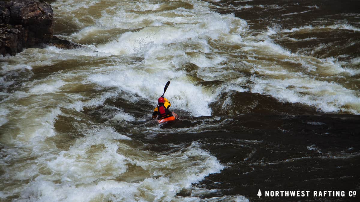
Photo
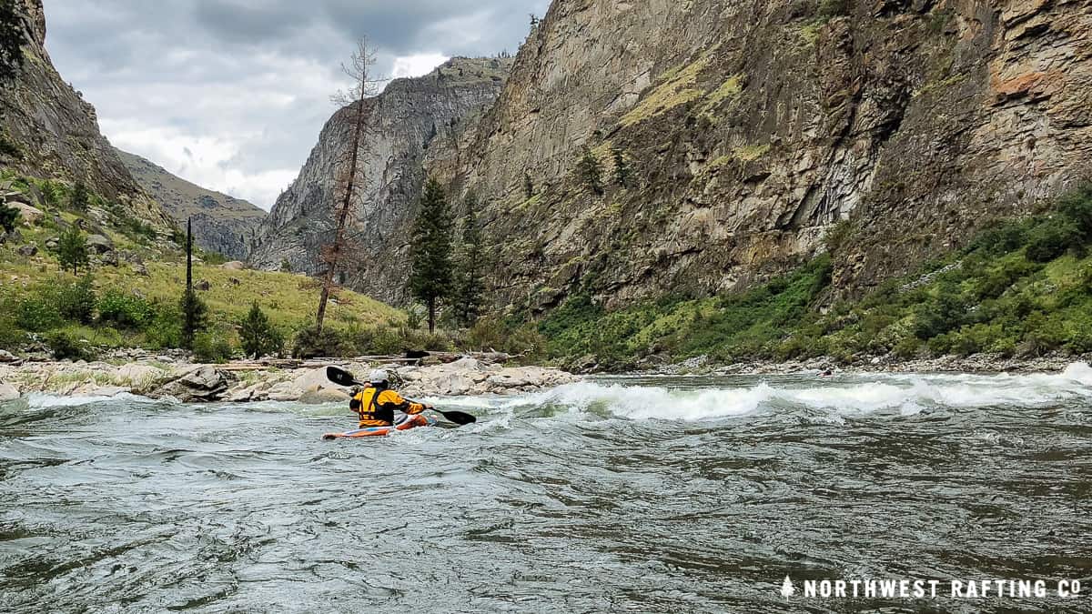
Photo courtesy of American Whitewater
Description
Take Out rapid offers a straightforward transition near the end of the Indian Creek run, with minimal technical challenges but requiring attentive navigation through potential boulder placements and shallow sections. Paddlers should be prepared for potential route-finding and maintaining momentum through potential rock gardens or constricted channels during lower water levels.
Location
Other Rapids on This Run (2)
View Full Run
Indian Ck. Rd. to Sugar Ck.@Deer Mill (4.7 miles)
Indian Creek
II
5.1 mi
Current Conditions
5-Day Forecast
Whitewater data from
American Whitewater
American Whitewater