Gauge Conditions
Data from American Whitewater & USGS
Photo
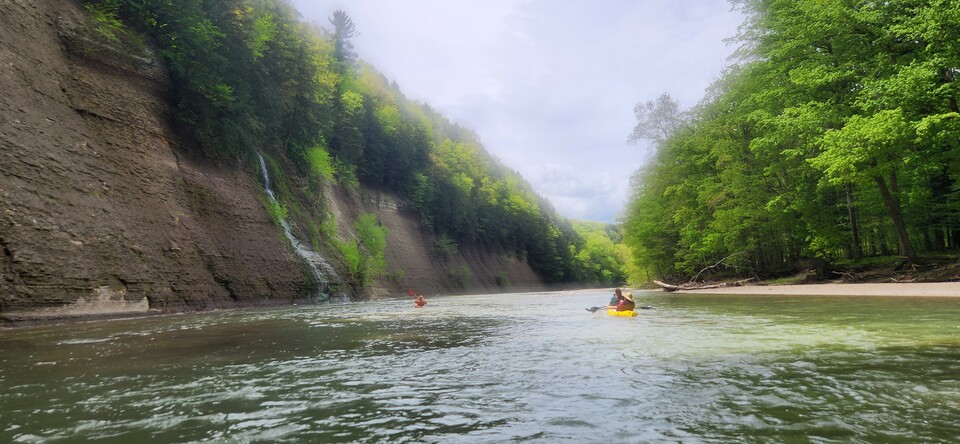
Photo courtesy of American Whitewater
Description
Take Out marks the end of the Ausable's East Branch run, featuring a long, boulder-strewn section that requires precise maneuvering between large rocks and potential undercut hazards. Paddlers should carefully scout this final rapid, selecting a clean line through the scattered debris and being prepared for potential pin or entrapment risks in the complex riverbed.
Location
Other Rapids on This Run (1)

View Full Run
Keene to Upper Jay
Ausable, E. Branch
II-III
6.6 mi
Current Conditions
5-Day Forecast
Whitewater data from
American Whitewater
American Whitewater