Gauge Conditions
Data from American Whitewater & USGS
Photo
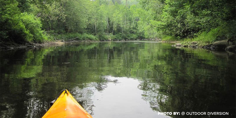
Photo courtesy of American Whitewater
Description
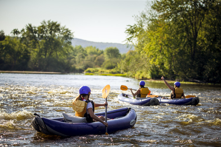
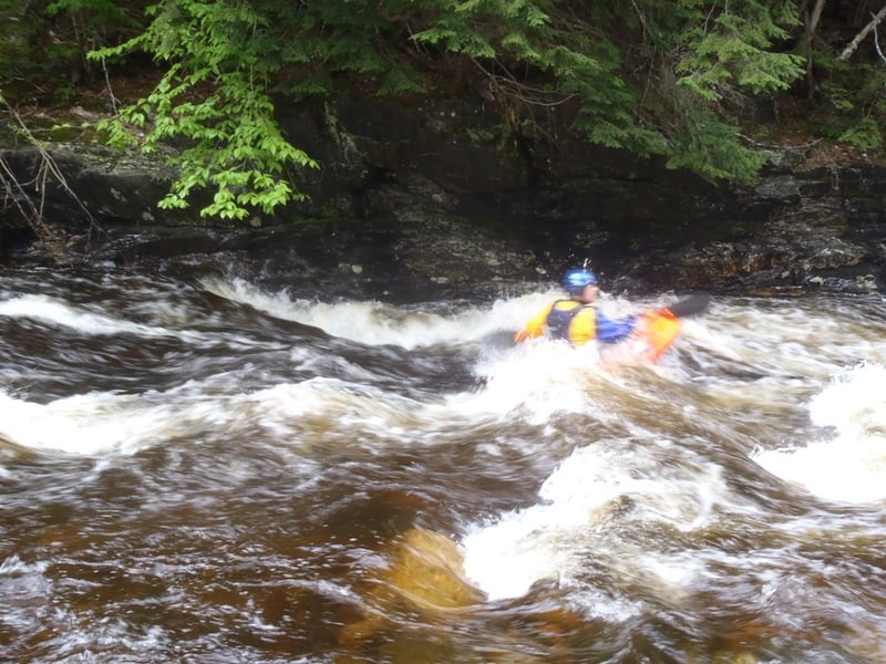
Take Out rapid on the Upper Ammonoosuc presents a technical navigation challenge with a series of closely spaced boulders creating multiple potential routes. Paddlers must carefully read the water and choose a precise line to avoid pinning hazards and negotiate the irregular hydraulics. At varying water levels, the rapid can shift from a straightforward passage to a more complex sequence requiring precise maneuvering and quick boat control.
Location
Other Rapids on This Run (2)
View Full Run
Kilkenny Loop Road to Spruceville Road
Ammonoosuc, Upper
II
6.1 mi
Current Conditions
5-Day Forecast
Whitewater data from
American Whitewater
American Whitewater