Gauge Conditions
Runnable: ? – ? CFS
Approximate - nearest available gauge. Use as general reference only.
Data from American Whitewater & USGS
Photo
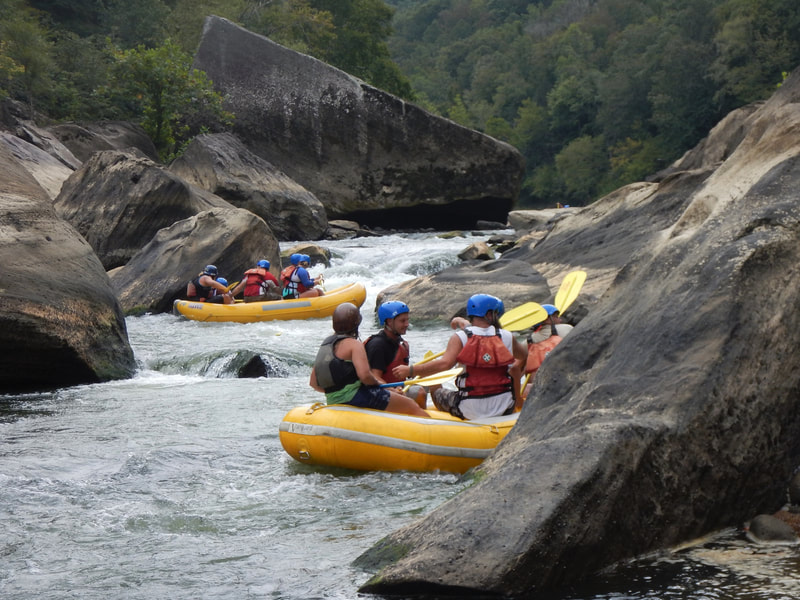
Photo courtesy of American Whitewater
Description
Take Out rapid marks the end of this short Cedar Branch run, presenting paddlers with a potential complex exit point near the Kentucky River confluence. While specific details are limited, boaters should anticipate potential river debris, potential shallow sections, and careful route selection when transitioning from the Cedar Branch to the main river channel. Scouting recommended due to variable water conditions and potential obstacles near the takeout zone.
Location
Other Rapids on This Run (1)

View Full Run
KY 342 to Kentucky River (1.5 miles)
Cedar Branch
III-IV
2.1 mi
Current Conditions
5-Day Forecast
Whitewater data from
American Whitewater
American Whitewater