Gauge Conditions
Data from American Whitewater & USGS
Photo
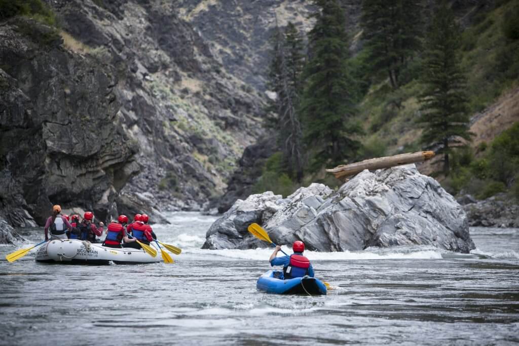
Photo courtesy of American Whitewater
Description
Take Out rapid presents a transition zone where paddlers must carefully navigate the confluence of waterways, potentially involving complex current interactions and potential debris. Limited information is available about specific hazards, so scouting and local beta are recommended before attempting this section of the Thompson River.
Location
Other Rapids on This Run (4)

View Full Run
Little Thompson River to Clark Fork Confluence
Thompson River
I-III
17.6 mi
Current Conditions
5-Day Forecast
Whitewater data from
American Whitewater
American Whitewater