Gauge Conditions
Data from American Whitewater & USGS
Photo
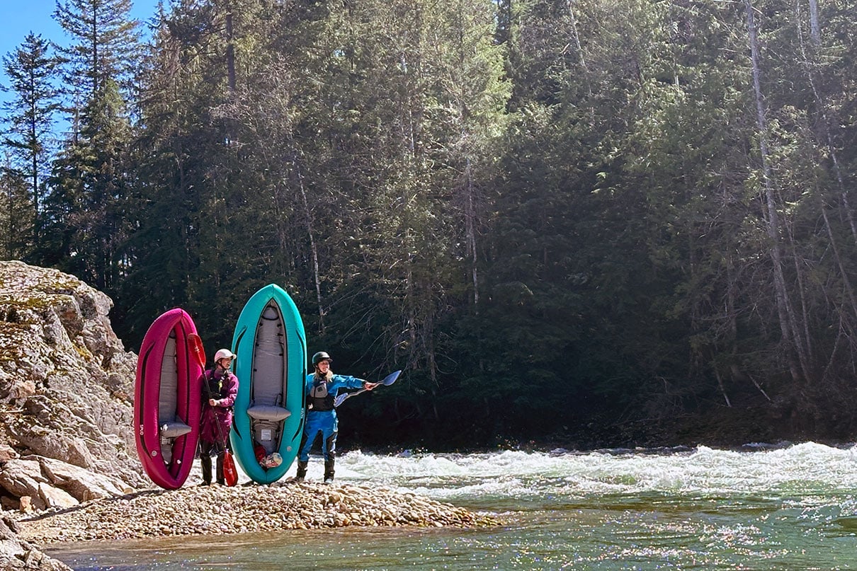
Photo courtesy of American Whitewater
Description
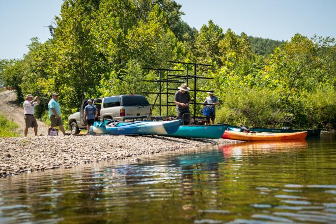
The Take Out rapid at Low Moor marks the end of the Covington to Low Moor river section, featuring a boat ramp on river right for convenient access. While specific details about rapid features are limited, paddlers should be prepared for potential takeout logistics and river conditions typical of the Jackson River in Virginia.
Location
Other Rapids on This Run (2)
View Full Run
5. Covington to Low Moor
Jackson
I-II
15.0 mi
Current Conditions
5-Day Forecast
Whitewater data from
American Whitewater
American Whitewater