Gauge Conditions
Runnable: ? – ? CFS
Approximate - nearest available gauge. Use as general reference only.
Data from American Whitewater & USGS
Photo
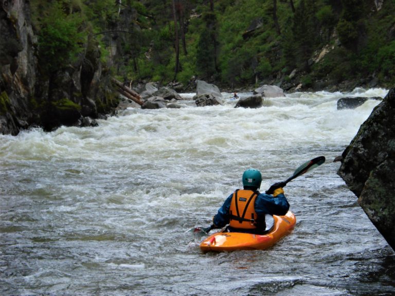
Photo courtesy of American Whitewater
Description
Take Out rapid marks the end of the Lower South Sauty Creek run, transitioning paddlers from whitewater to the flatwater of Guntersville Lake. While specific details are limited, paddlers should be prepared for potential debris and lake conditions that can create unexpected challenges at the river's terminus.
Location
Other Rapids on This Run (1)

View Full Run
Lower: Bucks Pocket to Guntersville Lake
South Sauty Creek
IV-V
6.4 mi
Current Conditions
5-Day Forecast
Whitewater data from
American Whitewater
American Whitewater