Gauge Conditions
Data from American Whitewater & USGS
Photo
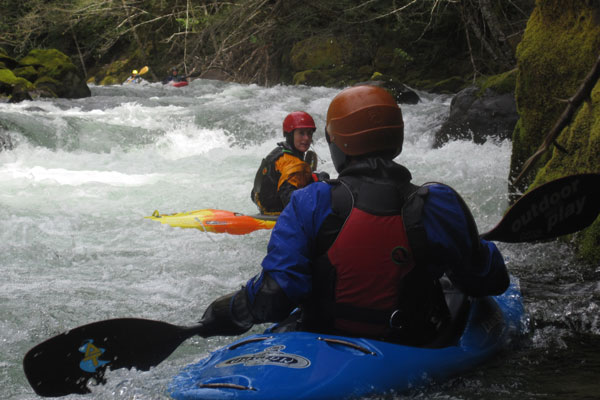
Photo courtesy of American Whitewater
Description
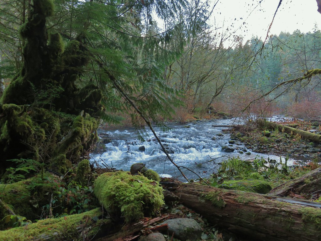
Take Out marks the end of the Lower Five Miles section, serving as a transition point from the Oak Grove Fork to the main Clackamas River. Limited information is available about specific features or challenges at this location, suggesting paddlers should scout carefully and be prepared for potential hazards typical of the river's lower sections.
Location
Other Rapids on This Run (3)

View Full Run
Lower Five Miles to Clackamas River
Clackamas, Oak Grove Fork
III-V(V+)
5.2 mi
Current Conditions
5-Day Forecast
Whitewater data from
American Whitewater
American Whitewater