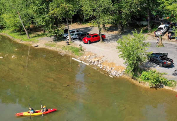
Take-out
VA
Take Out - Luray (U.S. 211)
Shenandoah, S. Fork - 1.) Old Spotswood Trail (Bus U.S. 33) Elkton VA to Luray (U.S. 211) (VA)
Gauge Conditions
Data from American Whitewater & USGS
Photo
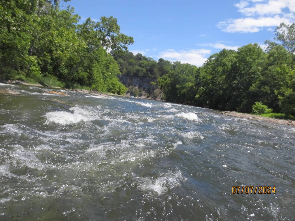
Photo courtesy of American Whitewater
Description
The Take Out rapid at Luray marks the end of the South Fork Shenandoah's Old Spotswood Trail section, offering paddlers a transition point with potential technical challenges depending on water levels. While specific details are limited, paddlers should be aware of potential river features, potential obstacles near the take-out point, and the importance of careful navigation as they approach the U.S. 211 access point.
Location

View Full Run
1.) Old Spotswood Trail (Bus U.S. 33) Elkton VA to Luray (U.S. 211)
Shenandoah, S. Fork
I-II
30.0 mi
Current Conditions
5-Day Forecast
Whitewater data from
American Whitewater
American Whitewater