Gauge Conditions
Runnable: 600.0 – 2,500.0 CFS
Estimated based on the lower section in New York
Data from American Whitewater & USGS
Photo

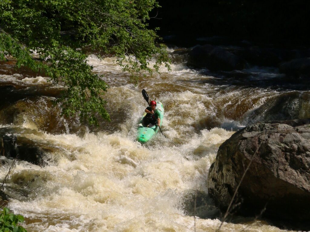
Photo courtesy of American Whitewater
Description
Take Out rapid marks the conclusion of the Battenkill's Vermont section, featuring a straightforward approach with minimal technical challenges. Paddlers should be aware of potential submerged rocks and changing water levels that can alter the rapid's character, though the overall difficulty remains relatively mild. No significant hazards are typically reported, making it a transition point between the river's more scenic upper stretches and the downstream section.
Location
Other Rapids on This Run (1)
View Full Run
Manchester to NY border (Arlington)
Battenkill
I
18.7 mi
Current Conditions
5-Day Forecast
Whitewater data from
American Whitewater
American Whitewater