Gauge Conditions
Runnable: 300.0 – 3,000.0 CFS
Lower than most prefer, but some play is possible.
Data from American Whitewater & USGS
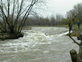
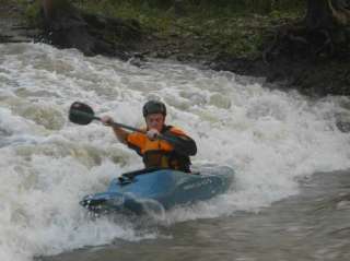
Photo
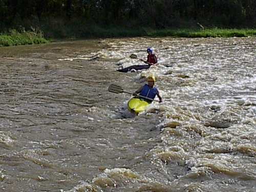
Photo courtesy of American Whitewater
Description
Take Out rapid is the concluding section of this short but potentially technical stretch of the Wabash River near Markle, Indiana. While difficulty rating is unspecified, paddlers should be prepared for potential obstacles and reduced water clearance, especially during low flow periods, which could require precise boat positioning and careful navigation through potential shallow or rocky segments.
Location
Other Rapids on This Run (6)

View Full Run
Markle to County Road 150 S (1.2 miles)
Wabash
I-II(III)
1.3 mi
Current Conditions
5-Day Forecast
Whitewater data from
American Whitewater
American Whitewater