Gauge Conditions
Data from American Whitewater & USGS
Photo
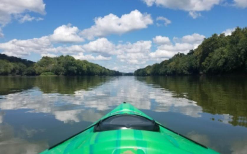
Photo courtesy of American Whitewater
Description
Take Out rapid is located at the confluence of Georges Creek and the North Branch Potomac River, marking the end of this whitewater section. While specific details are limited, paddlers should be prepared for potential hydraulic features and debris near the river junction. As the terminal rapid of this run, careful navigation and situational awareness are crucial for a safe exit from the water.
Location
Other Rapids on This Run (1)

View Full Run
Maryland Rte. 36 (Midland) to N. Branch Potomac River
Georges Creek
III-IV
11.9 mi
Current Conditions
5-Day Forecast
Whitewater data from
American Whitewater
American Whitewater