How's Your
River
×
Explore
Explore Map
Water Bodies
Gauges
Access Sites
Tidal Stations
Whitewater
Pricing
Login
Sign Up
Hazard Warning:
Hazard information may be user-submitted and unverified. Conditions change frequently. Always scout rapids and obstacles yourself.
Whitewater
Maryland
Deer Creek - 0.5. Bond Road to MD 23
Take Out - MD 23
Take-out
MD
Take Out - MD 23
Deer Creek - 0.5. Bond Road to MD 23 (MD)
Monitor this Rapid
Water Body
This Run
Map
Other Rapids
Gauge
Weather
Directions
Gauge Conditions
Deer Creek at Rocks, MD
Downstream
Primary
Runnable: 3.0 – 10.0 FT
Data from
American Whitewater
&
USGS
Photo
Photo courtesy of
American Whitewater
Description
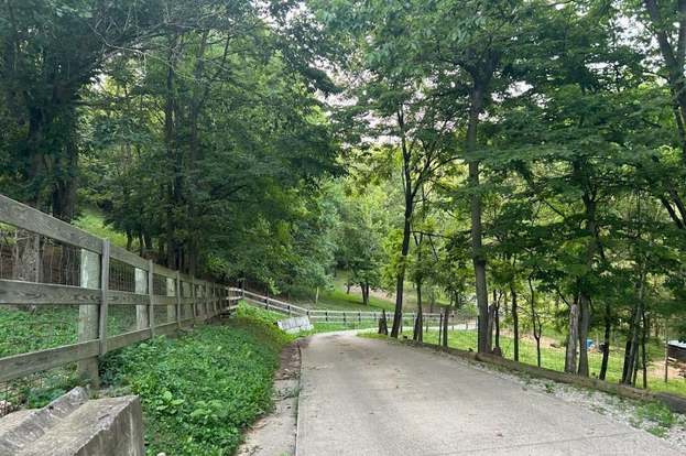
Take Out - MD 23, Northwest Harford County
Location
Radar
Counties
Cell
Verizon
AT&T
T-Mobile
Dark
Satellite
Terrain
Other Rapids on This Run (1)
Rapid
N/A
Put In - Bond Rd.
0.0 mi
Type
Take-out
Difficulty
Class N/A
Mile Marker
5.3 mi
Directions
Navigate
View Full Run
0.5. Bond Road to MD 23
Deer Creek
I
5.3 mi
Current Conditions
5-Day Forecast
Whitewater data from
American Whitewater
Take Out - MD 23