Take-out
VA
Take Out - N. Fork Shenandoah
Stony Creek (NF Shenandoah trib) - Route 691 (Dellinger Acres Rd.) to N. Fork Shenandoah (VA)
Gauge Conditions
Data from American Whitewater & USGS
Photo
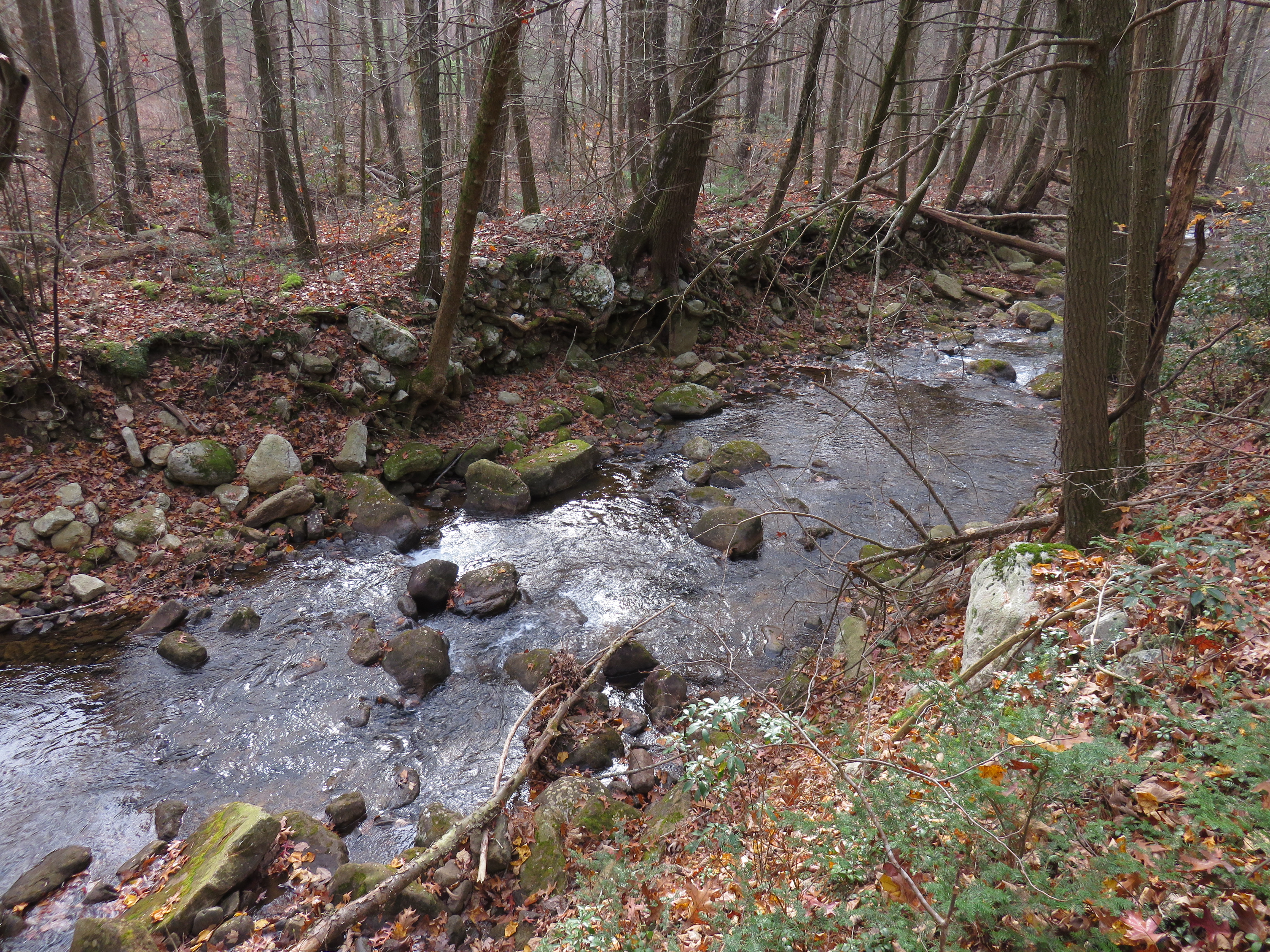
Photo courtesy of American Whitewater
Description
This take-out location marks the confluence of Stony Creek with the North Fork Shenandoah River, providing boaters a critical exit point after navigating the tributary's upstream section. While details about specific rapid features are limited, paddlers should be aware of potential flow variations and potential debris or obstacles near the river junction. Careful scouting and local knowledge are recommended when using this access point.
Location
Other Rapids on This Run (2)
View Full Run
Route 691 (Dellinger Acres Rd.) to N. Fork Shenandoah
Stony Creek (NF Shenandoah trib)
II+
14.0 mi
Current Conditions
5-Day Forecast
Whitewater data from
American Whitewater
American Whitewater