Gauge Conditions
Runnable: ? – ? CFS
Approximate - nearest available gauge. Use as general reference only.
Data from American Whitewater & USGS
CDEC Flow Data California
Data from California Data Exchange Center (CDEC)
Photo
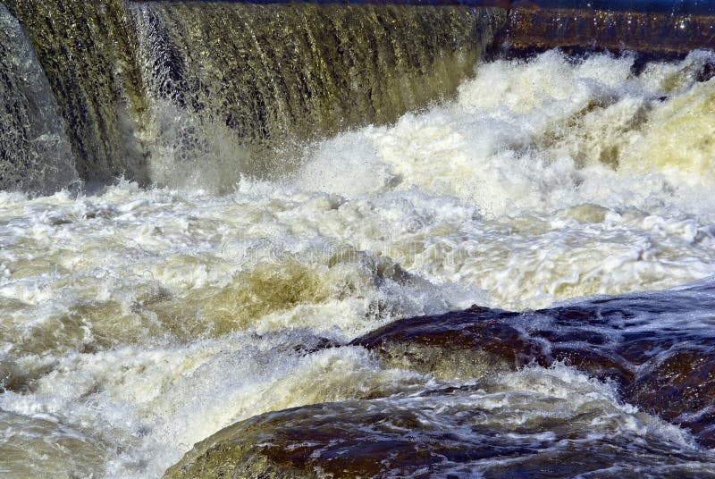
Photo courtesy of American Whitewater
Description
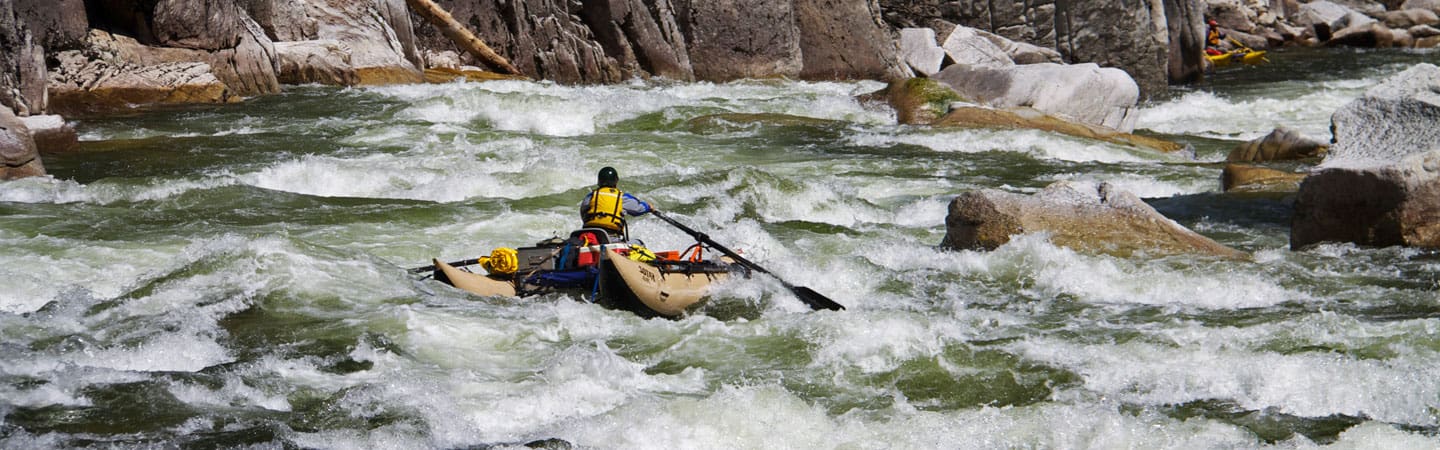
Take Out rapid on Battle Creek's South Fork presents a complex navigation challenge with multiple potential lines through a boulder-strewn section. Paddlers should be prepared for potential hidden rocks and shifting water channels, especially during lower water levels that can expose unpredictable obstacles.
Location
Other Rapids on This Run (3)
View Full Run
Near Ponderosa Way to Manton Road (A6)
Battle Creek, South Fork
V
12.5 mi
Current Conditions
5-Day Forecast
Whitewater data from
American Whitewater
American Whitewater