Take-out
NE
Take Out
Dismal - Nebraska 97 bridge to Whitetail Campground (56.5 miles; shorter possible) (NE)
Gauge Conditions
Runnable: 200.0 – 2,000.0 CFS
Best boatable levels uncertain. Help us out! Add a comment or 'report'.
Data from American Whitewater & USGS
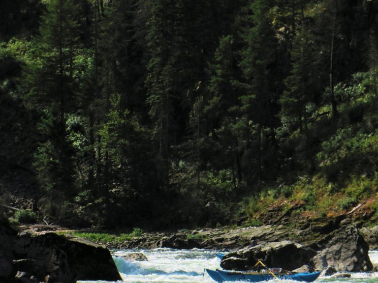
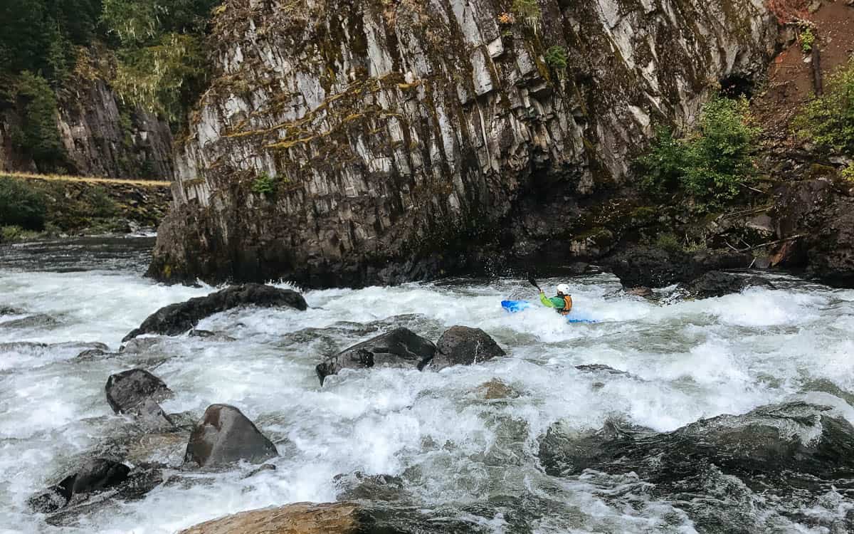
Photo
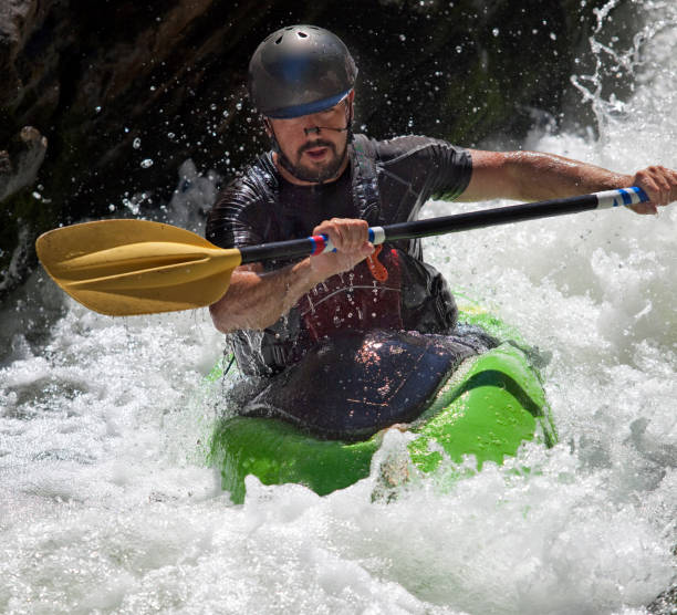
Photo courtesy of American Whitewater
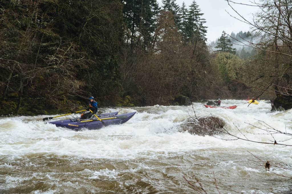
Description
Take Out rapid represents the terminus point for this challenging river section, marked by potential debris and tight maneuvering near the Nebraska 97 bridge takeout. Paddlers should be prepared for potential shifting river conditions and potential hazards from shoreline obstructions or unexpected submerged objects. Careful boat positioning and attentive navigation are crucial when approaching this final segment of the run.
Location
Other Rapids on This Run (12)
 Rapid
N/A
Rapid
N/A
Put In
 Waterfall
N/A
Waterfall
N/A
Falls
 Hazard
N/A
Hazard
N/A
Fence Crossing
 Rapid
N/A
Rapid
N/A
Bridge (Likely Private)
 Rapid
N/A
Rapid
N/A
Seneca Road
 Rapid
N/A
Rapid
N/A
Leroy Ln (Bridge)
 Rapid
N/A
Rapid
N/A
River Ave (Bridge)
 Rapid
N/A
Rapid
N/A
Old Hwy.83 (Bridge)
 Rapid
N/A
Rapid
N/A
Scenic Byp (Bridge)
 Rapid
N/A
Rapid
N/A
Bridge (Probably Private)
 Rapid
N/A
Rapid
N/A
Bridge (probably private)
 Rapid
N/A
Rapid
N/A
Hwy.2 Bridge, Dunning
View Full Run
Nebraska 97 bridge to Whitetail Campground (56.5 miles; shorter possible)
Dismal
I-II(IV)
58.0 mi
Current Conditions
5-Day Forecast
Whitewater data from
American Whitewater
American Whitewater