Gauge Conditions
Data from American Whitewater & USGS
Photo
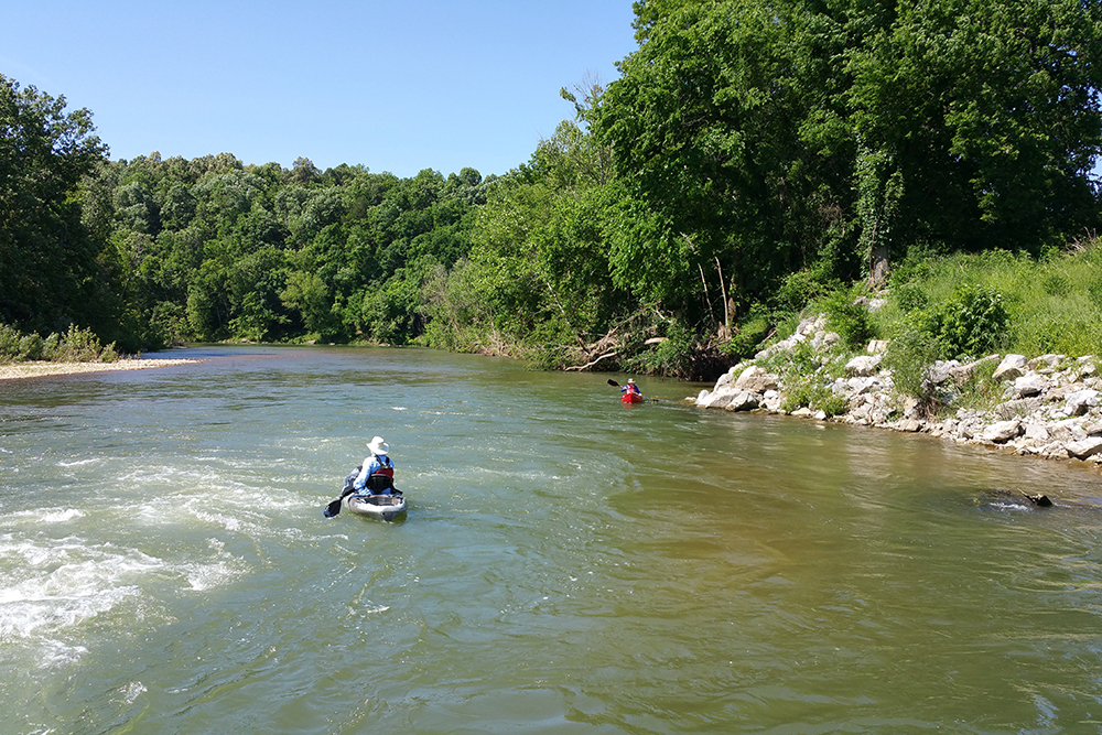
Photo courtesy of American Whitewater
Description
Take Out rapid marks the end of this Trace Creek run, signaling the transition from river to takeout point at Highway 7. While specifics are limited, paddlers should be prepared for potential debris or altered channel conditions near the exit point, and carefully scout the rapid's final approach to ensure a clean exit from the river.
Location
Other Rapids on This Run (1)
View Full Run
NFR 780 to Hwy 7 (3.5 miles)
Trace Creek
II+
3.5 mi
Current Conditions
5-Day Forecast
Whitewater data from
American Whitewater
American Whitewater