Take-out
MO
Take Out
Little Rock Creek - Off of Highway E (east of USFS Marble Creek Campground) to Highway E bridge (1 mile) (MO)
Gauge Conditions
Runnable: 4.5 – 12.0 FT
Help us out! Add a comment about runnable levels!
Data from American Whitewater & USGS
Photo
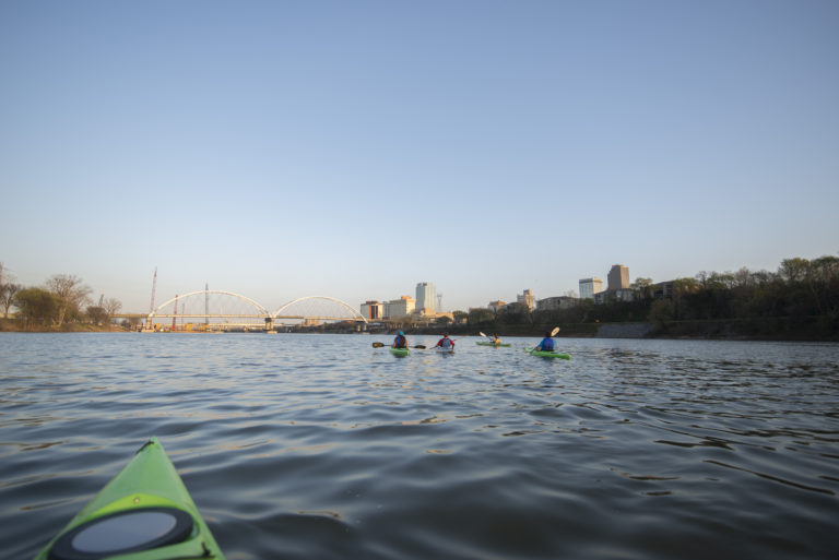
Photo courtesy of American Whitewater
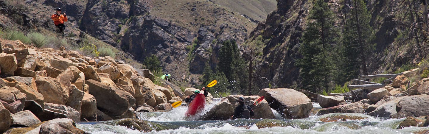
Description
Take Out rapid on Little Rock Creek presents a straightforward passage with minimal technical challenges, likely marking the end of this short river section. Paddlers should be prepared for potential low water conditions and potential debris or strainers, typical of small Ozark streams. No significant hazards are reported, but standard river navigation skills and awareness of local water levels are recommended.
Location
Other Rapids on This Run (1)
View Full Run
Off of Highway E (east of USFS Marble Creek Campground) to Highway E bridge (1 mile)
Little Rock Creek
IV+
0.5 mi
Current Conditions
5-Day Forecast
Whitewater data from
American Whitewater
American Whitewater