Gauge Conditions
Runnable: 200.0 – 1,500.0 CFS
Sweet level. Very playable.
Data from American Whitewater & USGS
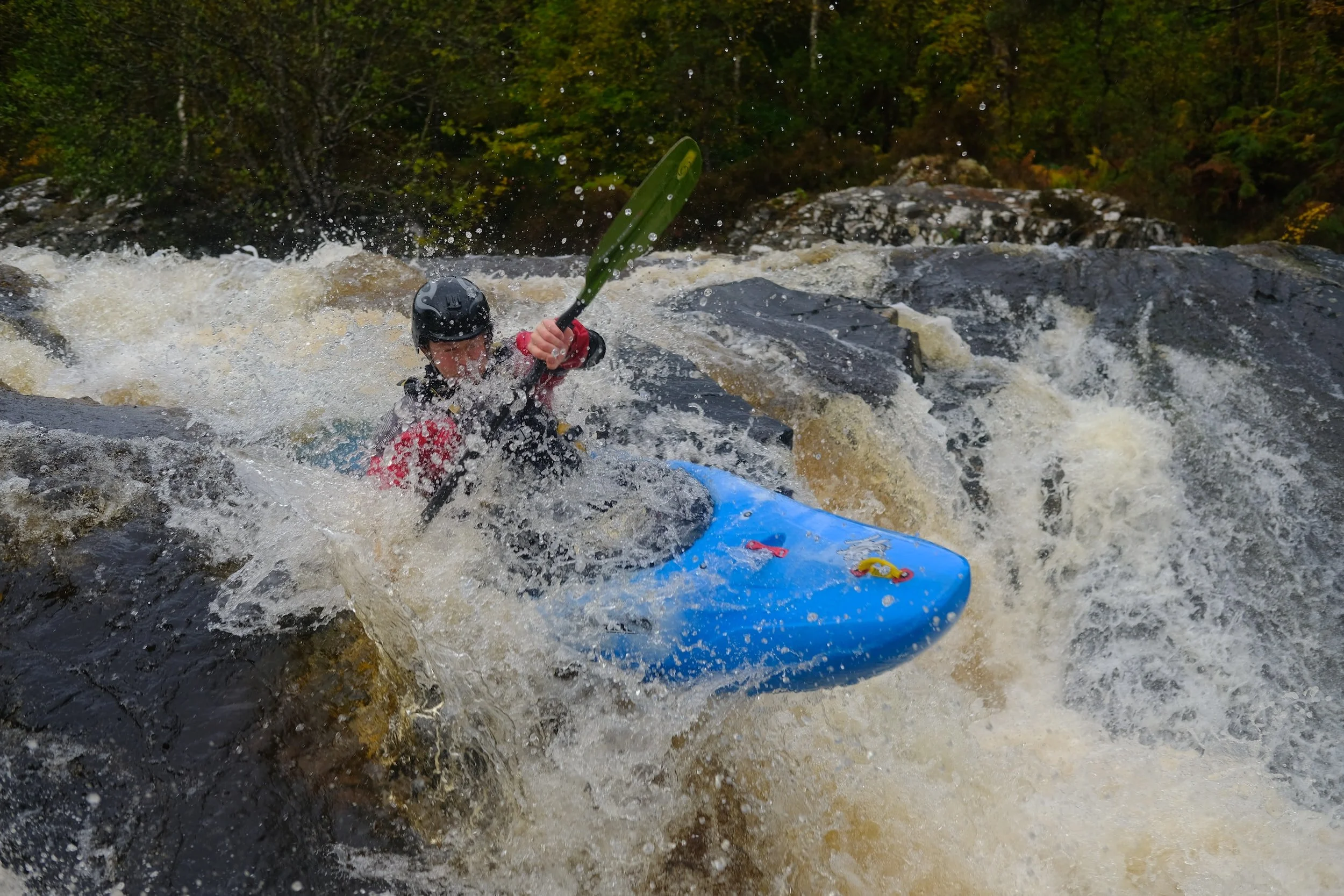
Photo
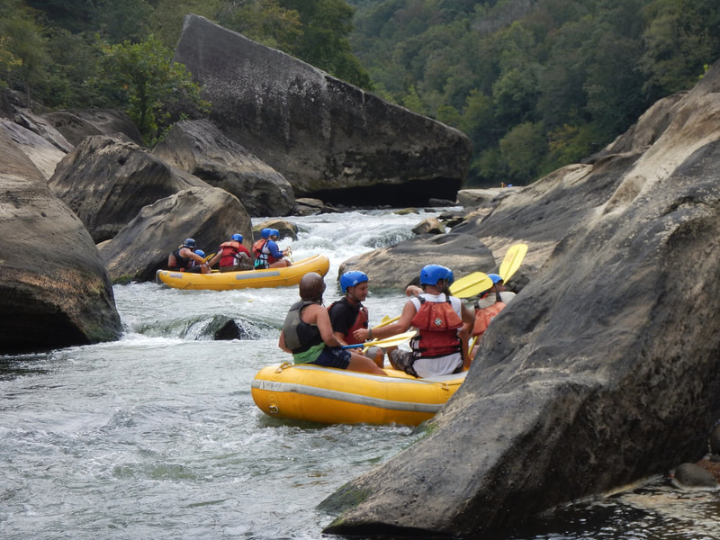
Photo courtesy of American Whitewater
Description
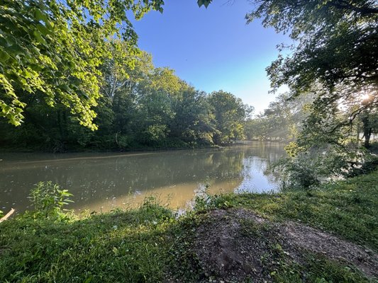
Take Out marks the end of the Flatrock River run, serving as a critical egress point for paddlers completing the 6.8-mile section. While the rapid itself lacks specific classification, boaters should be aware of potential debris, shallow areas, and potential strainers near the river's exit point. Careful boat positioning and awareness of surrounding terrain are essential for a safe takeout.
Location
Other Rapids on This Run (2)
View Full Run
Old U.S. Hwy 421 to Conns Creek (6.8 miles)
Flatrock
I(III)
7.0 mi
Current Conditions
5-Day Forecast
Whitewater data from
American Whitewater
American Whitewater