Gauge Conditions
Runnable: 26.0 – 28.0 FT
Best levels unknown. Help us out! Add a comment.
Data from American Whitewater & USGS
Photo
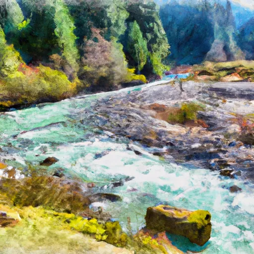
Photo courtesy of American Whitewater
Description
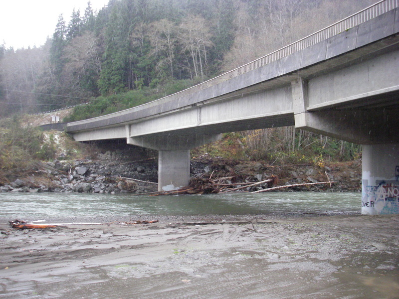
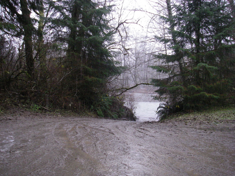
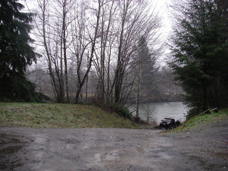
Take Out is the terminal rapid at the end of this wilderness river run, marking the transition from remote forest to highway access. While specific details are limited due to the river's less-traveled nature, paddlers should be prepared for potential debris, changing water levels, and a potentially technical exit that requires careful navigation to reach the Highway 101 takeout point safely.
Location
Other Rapids on This Run (4)

View Full Run
Park Boundary to Hwy 101
Bogachiel
II
5.4 mi
Current Conditions
5-Day Forecast
Whitewater data from
American Whitewater
American Whitewater