Gauge Conditions
Runnable: ? – ? CFS
Approximate - nearest available gauge. Use as general reference only.
Data from American Whitewater & USGS
Photo
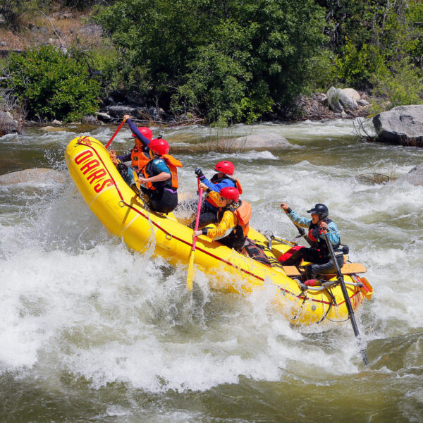
Photo courtesy of American Whitewater
Description
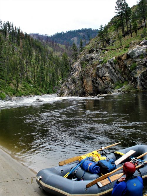
Take Out rapid marks the end of this section of the Hoh River, signaling the approach to the South Fork Campground. While details are limited, paddlers should be prepared for potential debris, shifting channels, and potential takeout logistics near the park boundary.
Location
Other Rapids on This Run (1)
View Full Run
Park boundary to South Fork Campground
Hoh, S. Fork
II-III
3.8 mi
Current Conditions
5-Day Forecast
Whitewater data from
American Whitewater
American Whitewater