Gauge Conditions
Runnable: ? – ? CFS
Approximate - nearest available gauge. Use as general reference only.
Data from American Whitewater & USGS
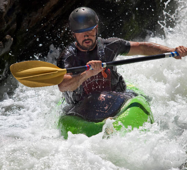
Photo
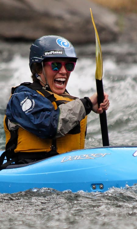
Photo courtesy of American Whitewater
Description
Take Out rapid marks the end of the Yellowjacket Creek run, situated at the confluence with the Cispus River. Limited information is available about specific features or difficulty, suggesting this may be a less-traveled or rarely run section that requires careful scouting and local knowledge.
Location
Other Rapids on This Run (1)
View Full Run
Pinto Creek to Cispus River confluence
Yellowjacket Creek
IV(V)
8.0 mi
Current Conditions
5-Day Forecast
Whitewater data from
American Whitewater
American Whitewater