Gauge Conditions
Runnable: ? – ? CFS
Approximate - nearest available gauge. Use as general reference only.
Data from American Whitewater & USGS
Photo
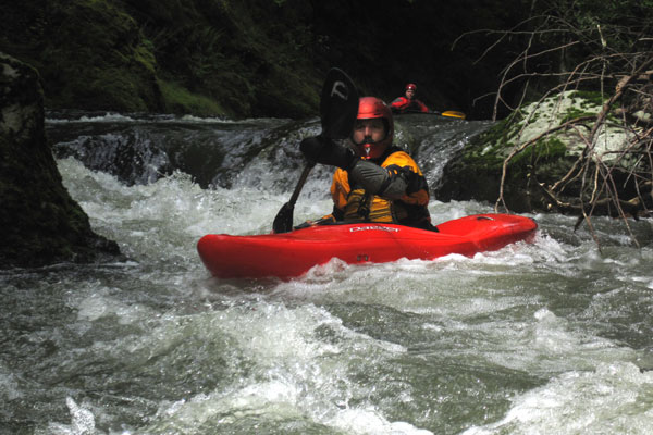
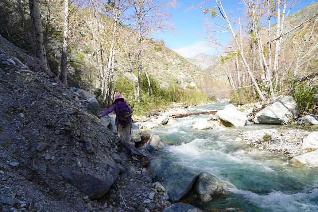
Photo courtesy of American Whitewater
Description
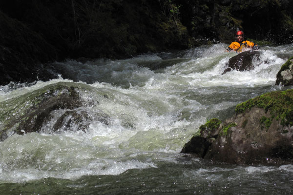
Take Out rapid marks the conclusion of the Devils River run, with a potential technical exit point that requires careful navigation. Paddlers should be prepared for potential obstacles near the takeout, though specific details about the rapid's characteristics are limited in available sources.
Location


View Full Run
Pleasant Road to Hwy.147 (4 miles)
Devils
II-III(IV)
3.7 mi
Current Conditions
5-Day Forecast
Whitewater data from
American Whitewater
American Whitewater