Gauge Conditions
Runnable: ? – ? CFS
Approximate - nearest available gauge. Use as general reference only.
Data from American Whitewater & USGS
Photo
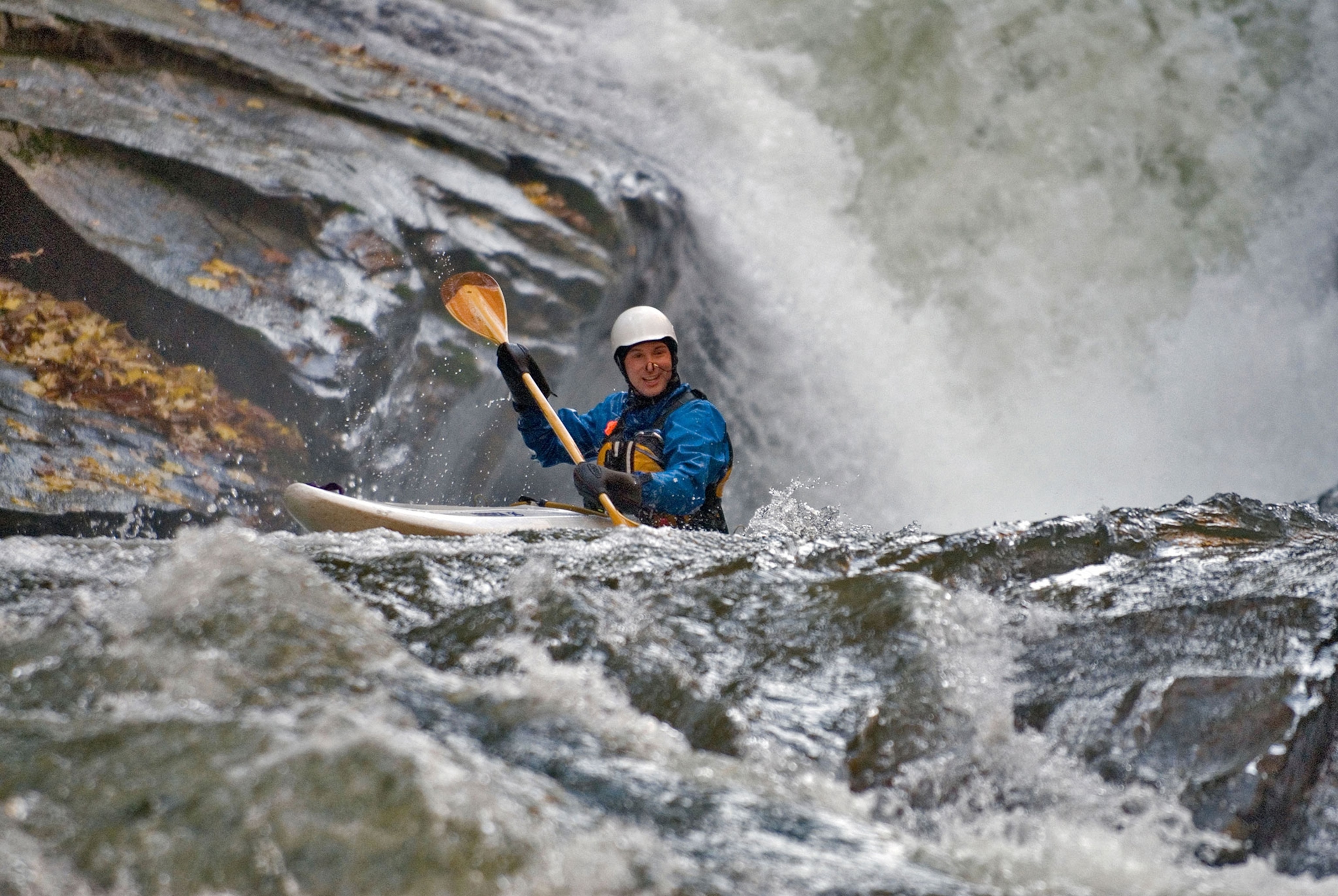
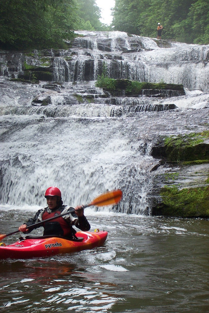
Photo courtesy of American Whitewater
Description
Take Out rapid marks the terminal point of the Rock Creek Falls section, featuring a complex boulder field that demands precise maneuvering and route selection. Paddlers must navigate a series of closely spaced rocks with potential for pin and entrapment hazards, requiring careful scouting and a clean, deliberate line through the most constricted channel. The rapid's technical nature and potential for hydraulic traps make it a critical transition zone before reaching Green River Road.
Location
Other Rapids on This Run (2)
View Full Run
Rock Creek Falls to Green River Road
Rock Creek (Green R. trib.)
IV-V
1.4 mi
Current Conditions
5-Day Forecast
Whitewater data from
American Whitewater
American Whitewater