Gauge Conditions
Runnable: 200.0 – 3,500.0 CFS
Maximum flow unknown
Data from American Whitewater & USGS
Photo
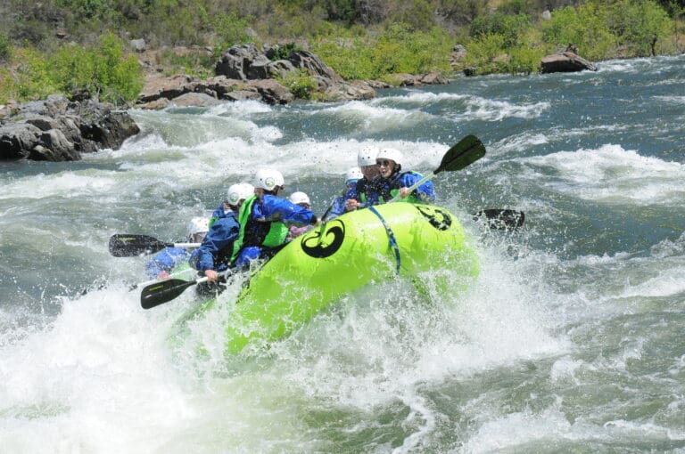
Photo courtesy of American Whitewater
Description
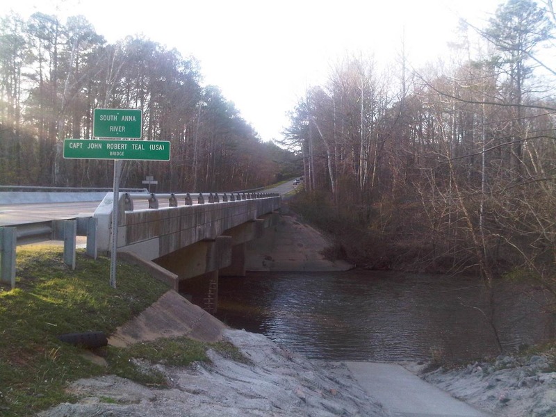
Take Out marks the end of the Route 33 to Route 54 section, characterized by a flat approach and minimal technical features. While not a challenging rapid itself, paddlers should be aware of potential debris and shallow sections depending on water levels, and should prepare for takeout logistics and shuttle coordination.
Location
Other Rapids on This Run (1)
View Full Run
Route 33 to Route 54
South Anna
I-II
6.8 mi
Current Conditions
5-Day Forecast
Whitewater data from
American Whitewater
American Whitewater