Gauge Conditions
Runnable: ? – ? CFS
Approximate - nearest available gauge. Use as general reference only.
Data from American Whitewater & USGS
Photo
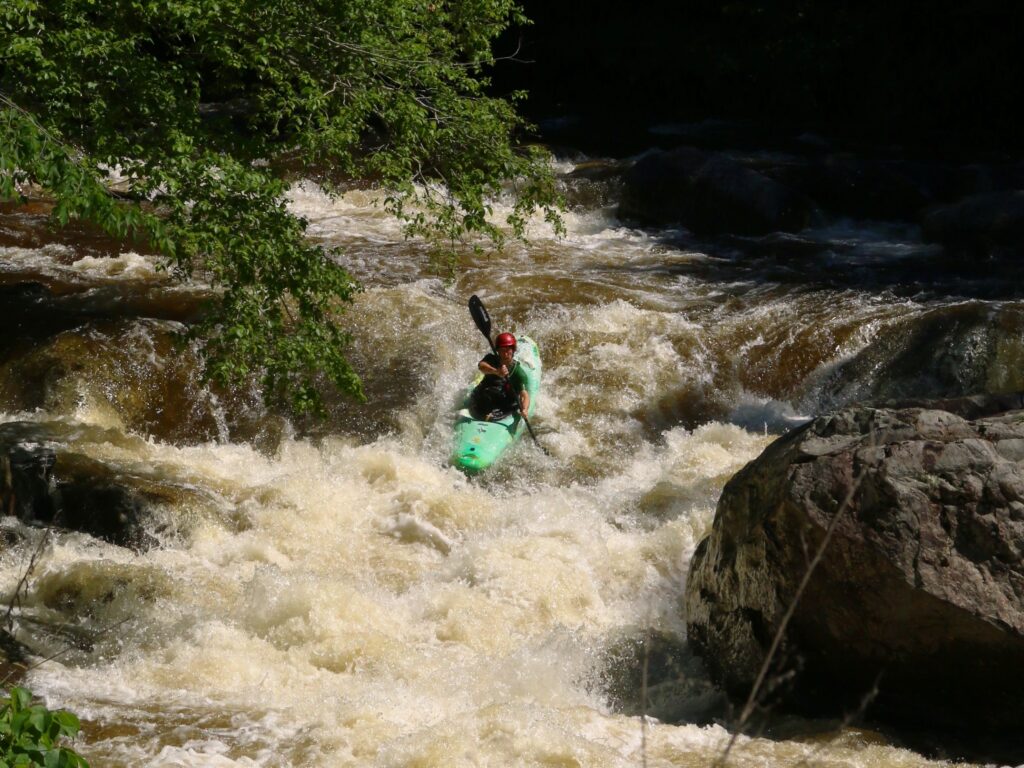
Photo courtesy of American Whitewater
Description
Take Out marks the final stretch of the Rucker Run before its confluence with the Tye River, characterized by a tight, technical exit point that requires precise maneuvering between partially submerged boulders. Paddlers should be prepared for potential shallow water and limited escape routes, making a careful approach and scouting recommended before running this section.
Location
Other Rapids on This Run (1)
View Full Run
Route 653 to Tye River
Rucker Run
II-III
4.3 mi
Current Conditions
5-Day Forecast
Whitewater data from
American Whitewater
American Whitewater