Gauge Conditions
Runnable: ? – ? CFS
Approximate - nearest available gauge. Use as general reference only.
Data from American Whitewater & USGS
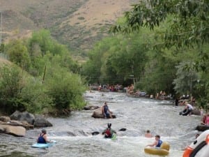
Photo
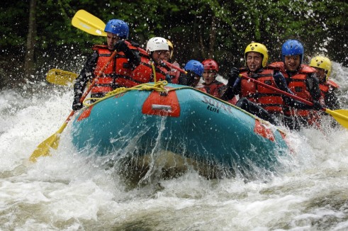
Photo courtesy of American Whitewater
Description
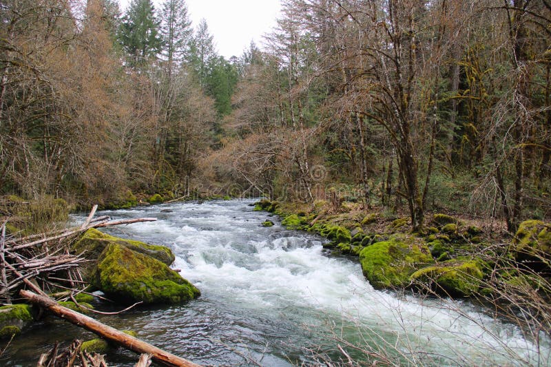
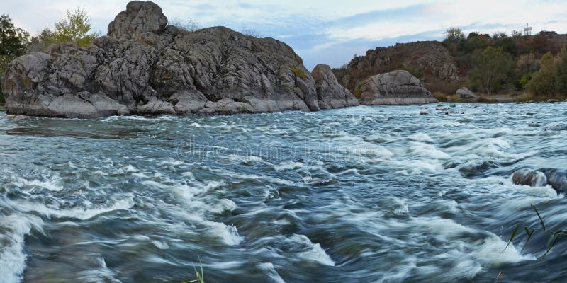
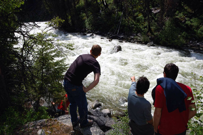
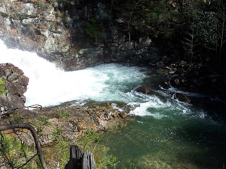
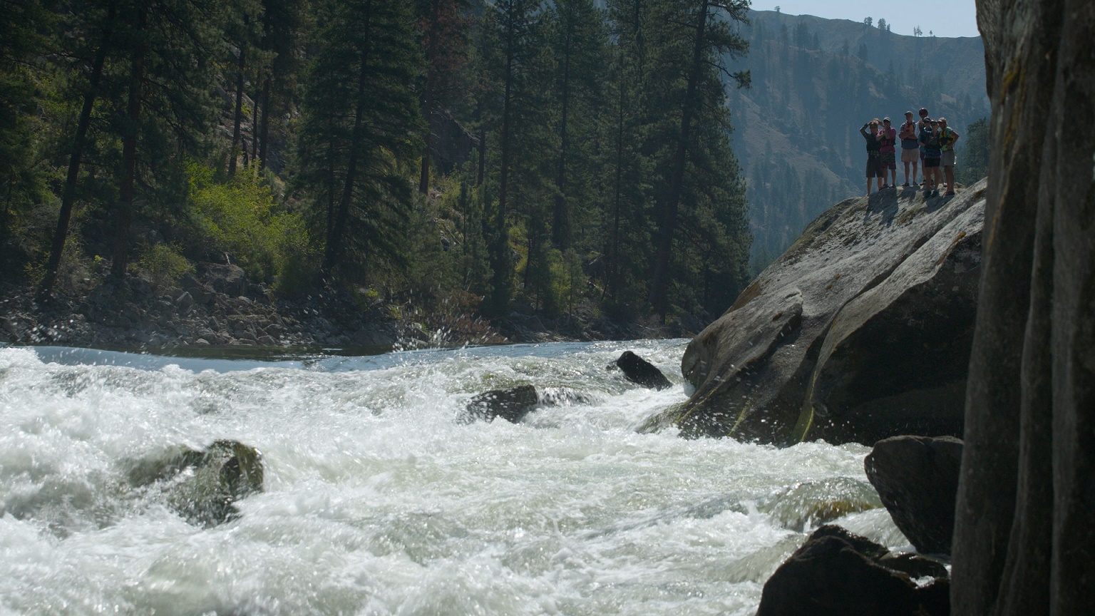
Take Out rapid marks the end of the Beech Creek run, featuring a complex boulder garden with multiple potential routes that demand precise maneuvering and reading the water. Paddlers should be prepared for tight technical moves between rocks and potential pin hazards, with the line changing significantly based on water levels and requiring careful scouting before running.
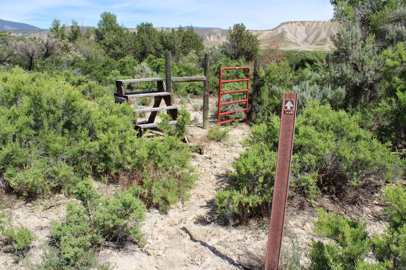
Location
Other Rapids on This Run (11)

View Full Run
Ryker to Hwy. 21 (7.5 miles)
Beech Creek
III-V
7.5 mi
Current Conditions
5-Day Forecast
Whitewater data from
American Whitewater
American Whitewater