Gauge Conditions
Runnable: ? – ? CFS
Approximate - nearest available gauge. Use as general reference only.
Data from American Whitewater & USGS
Photo
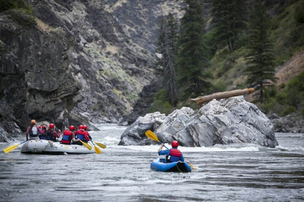
Photo courtesy of American Whitewater
Description
Take Out rapid marks the end of this short Mollies Creek run, featuring a tight exit with potential for unexpected debris and swift current convergence. Paddlers should be prepared for potential strainers near the river banks and carefully scout the final approach to the takeout point, especially at varying water levels.
Location
Other Rapids on This Run (2)
View Full Run
S. Cemetery Road to CTH.K (2.35 miles)
Mollies Creek
II(III)
2.4 mi
Current Conditions
5-Day Forecast
Whitewater data from
American Whitewater
American Whitewater