Gauge Conditions
Data from American Whitewater & USGS
Photo
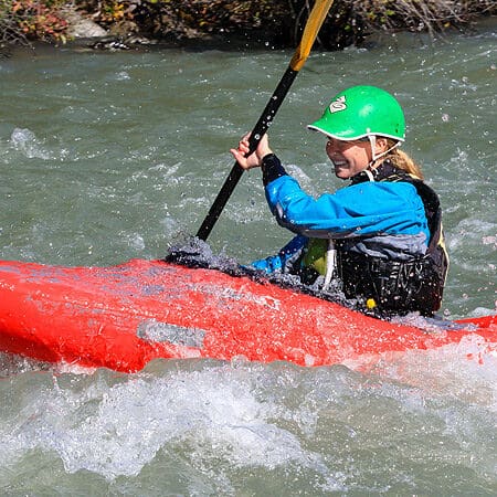
Photo courtesy of American Whitewater
Description
Take Out serves as the termination point for this river section, marking the end of the paddling run where boaters exit the river at Highway 4. While specific details about the rapid's technical features are limited, paddlers should be prepared for potential takeout challenges such as rocky shorelines or swift current near the exit point. Careful scouting and proper river reading skills are recommended to ensure a safe and smooth transition from water to land.
Location
Other Rapids on This Run (1)

View Full Run
S. Fork Grays to Hwy. 4
Grays
IV+
4.4 mi
Current Conditions
5-Day Forecast
Whitewater data from
American Whitewater
American Whitewater