Take-out
MI
Take Out
Save this feature with the run it belongs to.
Gauge Conditions
Runnable: 100.0 – 800.0 CFS
Likely too low for decent whitewater run.
Data from American Whitewater & USGS
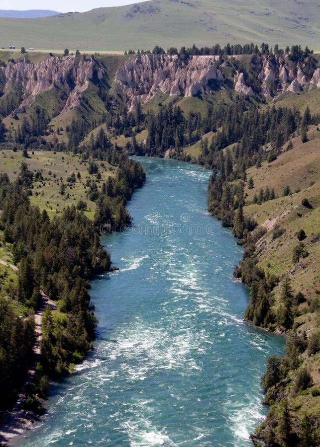
Photo
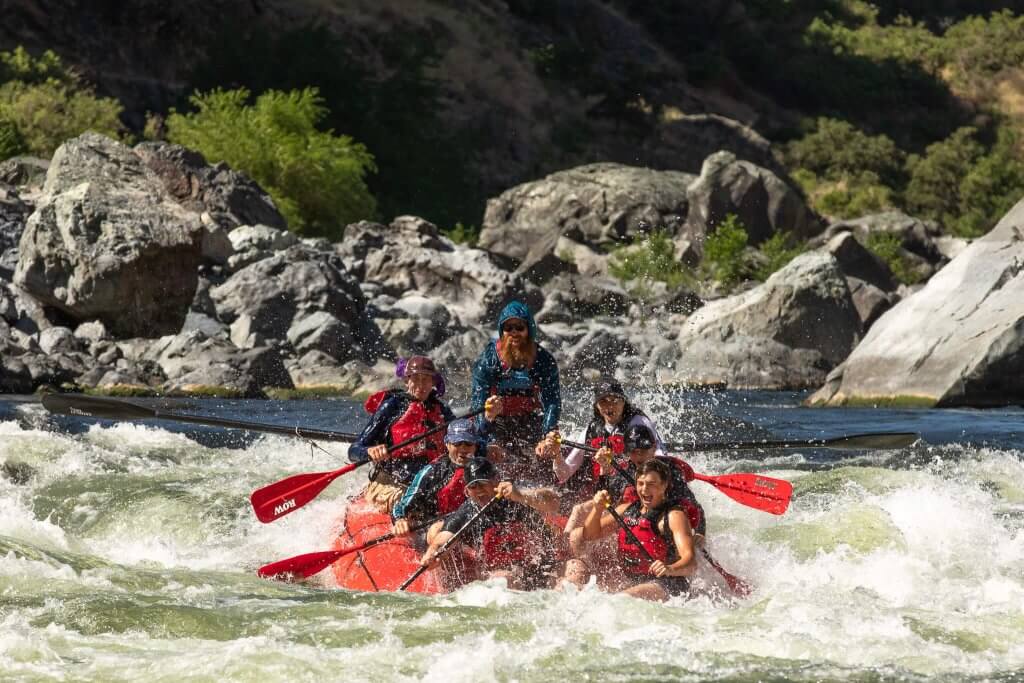
Photo courtesy of American Whitewater
Description
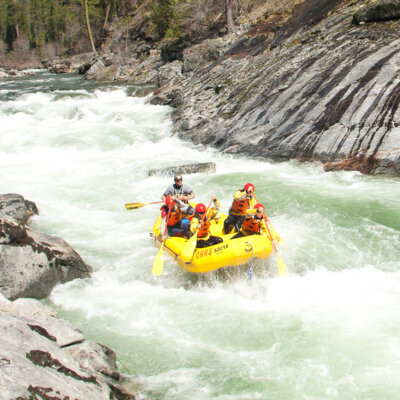
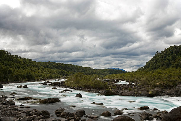
Take Out rapid marks the terminus of the Sands Plains Run, characterized by a broad, shallow descent with scattered boulder fields that demand precise navigation. Paddlers should be prepared for potential pin hazards and unpredictable water levels, particularly during lower flow conditions when exposed rocks create additional technical challenges.
Location
Interactive river map
Loads as you approach this section.
Other Rapids on This Run (20)
 Rapid
N/A
Rapid
N/A
Put In
 Rapid
N/A
Rapid
N/A
USGS sampling site
 Rapid
N/A
Rapid
N/A
Island
 Rapid
II+
Rapid
II+
Canyon Rapid
Rapid
II
Rapids
Rapid
II
Rapids
 Rapid
N/A
Rapid
N/A
Short drop?
 Rapid
N/A
Rapid
N/A
Short drop?
Rapid
N/A
Confluence, O'Neal Creek
 Rapid
II
Rapid
II
Fourth drop
 Rapid
II
Rapid
II
Short Rocky Wavetrain
 Rapid
I
Rapid
I
Long Shoals
 Rapid
I
Rapid
I
Short Shoals
 Rapid
I
Rapid
I
Broken Shoals
 Rapid
N/A
Rapid
N/A
Confluence, unnamed creek
 Rapid
N/A
Rapid
N/A
Riffles and Rips
 Rapid
N/A
Rapid
N/A
Timber Ford
 Rapid
N/A
Rapid
N/A
Rock Pile
Rapid
N/A
Log Jam ?
Rapid
N/A
Rock Wall ?
View Full Run
Sands Plains Run: Section 20 Bridge to W.Iron Street (2 - 8.4 miles)
Escanaba, E.Br.
I-II(III)
7.8 mi
Current Conditions
5-Day Forecast
Whitewater data from
American Whitewater
American Whitewater