Gauge Conditions
Data from American Whitewater & USGS
CDEC Flow Data California
Data from California Data Exchange Center (CDEC)
Photo
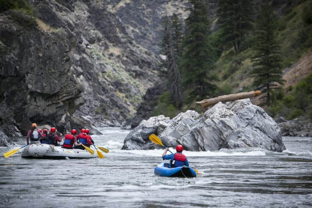
Photo courtesy of American Whitewater
Description
Take Out rapid marks the end of the Mattole River run, featuring a complex exit with multiple potential channel routes and submerged obstacles. Careful route selection is critical, as the rapid can become treacherous at different water levels with shifting rock gardens and potential pinning hazards near the river's edge.
Location
Other Rapids on This Run (1)
View Full Run
Shelter Cove Road to Honeydew
Mattole
II-III
22.0 mi
Current Conditions
5-Day Forecast
Whitewater data from
American Whitewater
American Whitewater