Gauge Conditions
Runnable: ? – ? CFS
Approximate - nearest available gauge. Use as general reference only.
Data from American Whitewater & USGS
Photo
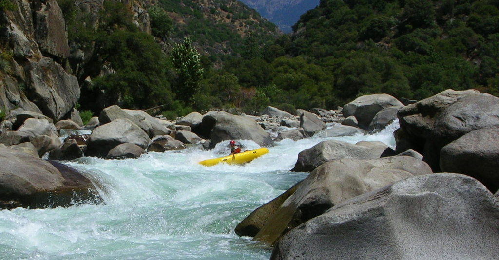
Photo courtesy of American Whitewater
Description
Take Out is a challenging exit point on the San Gabriel River, requiring precise navigation through a narrow, boulder-strewn channel with potential undercut rocks and debris. Paddlers should be prepared for tight maneuvering and potential pin hazards, particularly during low water conditions when exposed rocks become more prominent. Scout carefully and be prepared to portage or line boats if water levels are marginal.
Location
Other Rapids on This Run (1)
View Full Run
somewhere below Morris Dam to Hwy.39/San Gabriel Cyn Rd.
San Gabriel
I-II
5.5 mi
Current Conditions
5-Day Forecast
Whitewater data from
American Whitewater
American Whitewater