Gauge Conditions
Runnable: ? – ? CFS
Approximate - nearest available gauge. Use as general reference only.
Data from American Whitewater & USGS
Photo

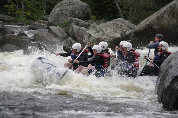
Photo courtesy of American Whitewater
Description
Take Out is a transitional river section marking the end of a paddling run, likely featuring potential shallow spots or mild obstacles that require careful navigation. While specific hazards are not clearly documented, paddlers should remain alert for potential submerged rocks or changing water levels that could impact passage through this area.
Location
Other Rapids on This Run (1)
View Full Run
South Orrington to Sandy Point
Penobscot
I-III
18.4 mi
Current Conditions
5-Day Forecast
Whitewater data from
American Whitewater
American Whitewater