Gauge Conditions
Data from American Whitewater & USGS
Photo
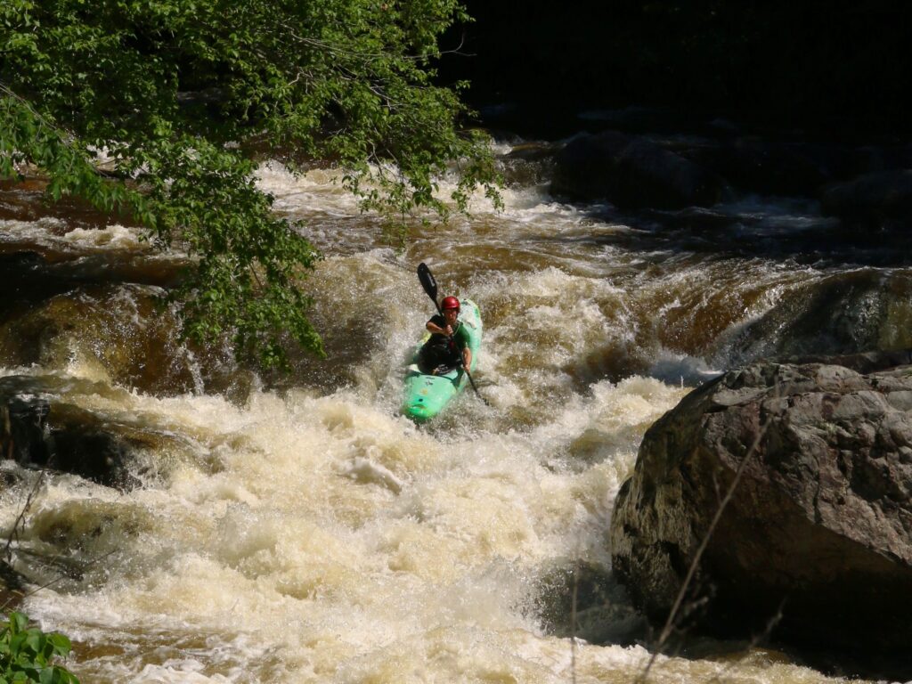
Photo courtesy of American Whitewater
Description
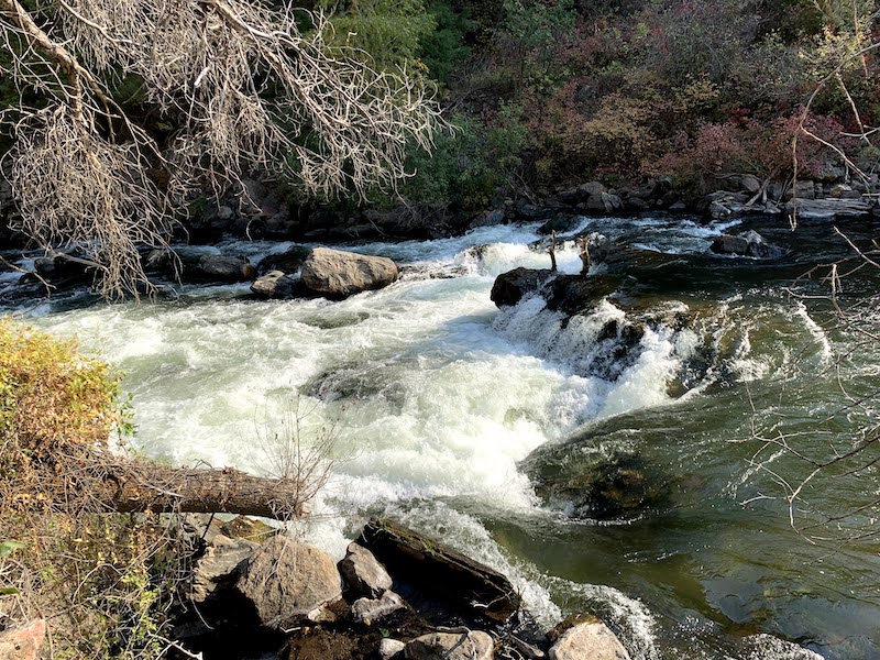
Take Out rapid marks the end of the Thornton River run, situated near the takeout point at Route 626. While specific details are limited, paddlers should be aware of potential hazards typical of a river exit point, such as debris, shallow water, or unexpected rock formations that could complicate boat extraction and river egress.
Location
Other Rapids on This Run (3)


View Full Run
Sperryville to Rock Mills (Rt. 626)
Thornton
II-III
6.5 mi
Current Conditions
5-Day Forecast
Whitewater data from
American Whitewater
American Whitewater