Gauge Conditions
Runnable: 200.0 – 10,000.0 CFS
Flow range for best boatability uncertain. Please help your fellow boaters with a comment or report.
Data from American Whitewater & USGS
CDEC Flow Data California
Data from California Data Exchange Center (CDEC)
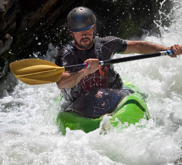
Photo
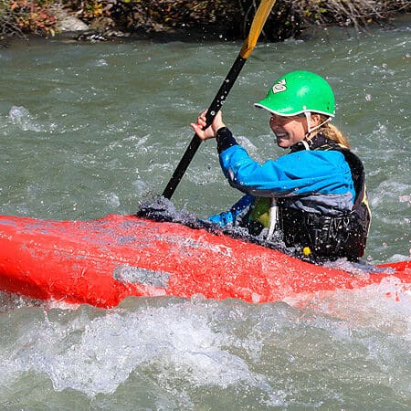
Photo courtesy of American Whitewater
Description
Take Out marks the terminal rapid on this stretch of the Napa River, typically characterized by debris and potential strainers near the exit point. Paddlers should exercise caution and scout the final approach, as river conditions can change rapidly and the takeout may require precise navigation through potential obstructions. While not a technical whitewater feature, this location demands careful river reading and situational awareness to ensure a safe exit from the river.
Location
Other Rapids on This Run (1)
View Full Run
St. Helena to Napa
Napa
III
21.9 mi
Current Conditions
5-Day Forecast
Whitewater data from
American Whitewater
American Whitewater