Gauge Conditions
Runnable: ? – ? CFS
Approximate - nearest available gauge. Use as general reference only.
Data from American Whitewater & USGS
Photo
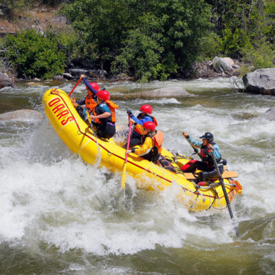
Photo courtesy of American Whitewater
Description
The Take Out rapid marks the end of the Stony Creek run, transitioning paddlers from the river's final stretch into the Black Butte Reservoir. While difficulty details are not specified, paddlers should be prepared for potential reservoir conditions including potential wind, flat water, and potential takeout logistics. Careful navigation and awareness of surrounding terrain is recommended when transitioning from river to reservoir.
Location
Other Rapids on This Run (2)
View Full Run
Stony Gorge Reservoir to Black Butte Reservoir
Stony Creek
II
15.4 mi
Current Conditions
5-Day Forecast
Whitewater data from
American Whitewater
American Whitewater