Gauge Conditions
Runnable: ? – ? CFS
Approximate - nearest available gauge. Use as general reference only.
Data from American Whitewater & USGS
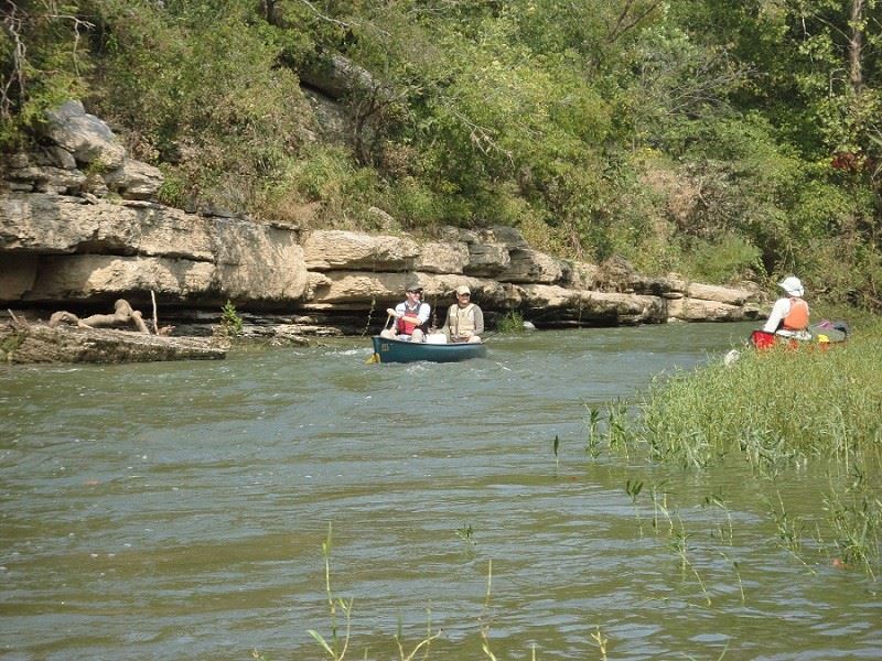
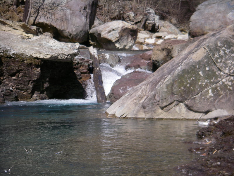
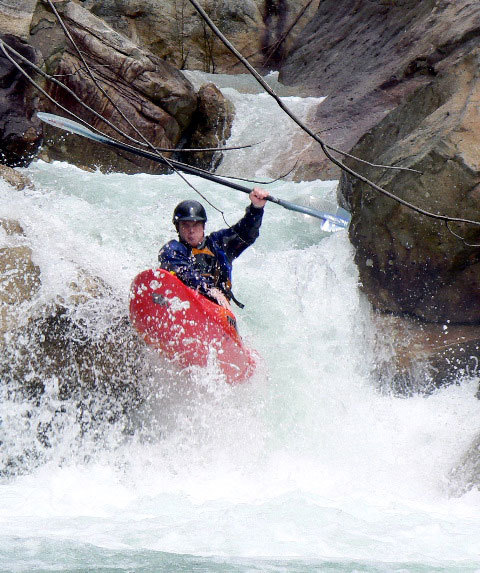
Photo
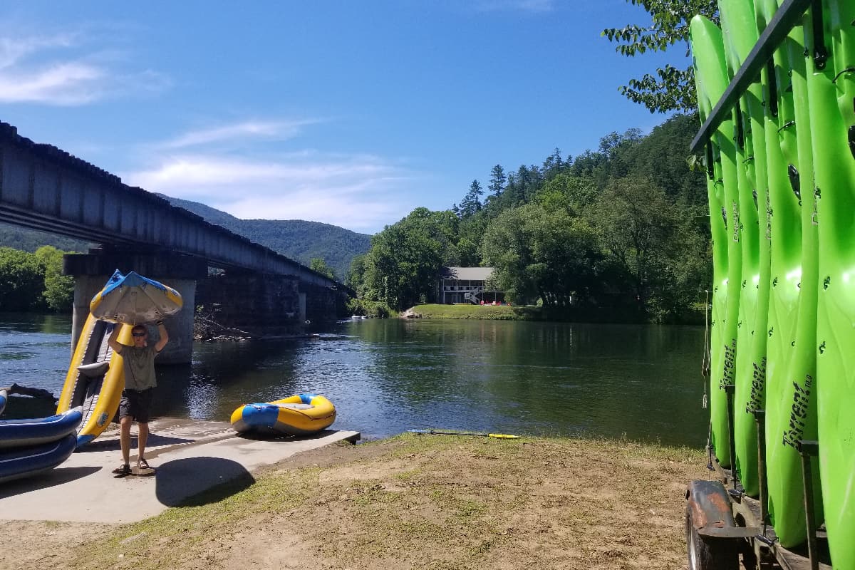
Photo courtesy of American Whitewater
Description
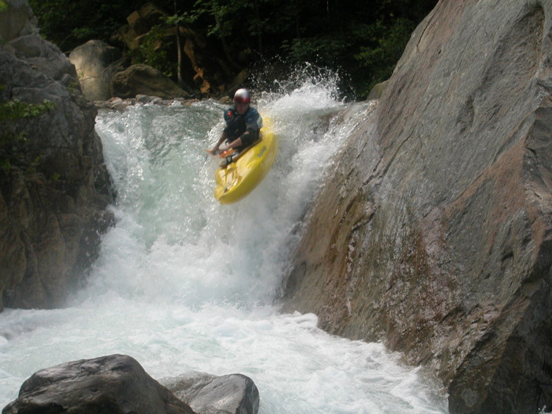
Take Out rapid marks the end of the Suck Creek run, featuring a boulder-choked final stretch that requires precise maneuvering between exposed rocks and potential underwater hazards. Paddlers should be prepared for tight lines and potential pin opportunities, especially at lower water levels, with careful route selection critical to navigating the technical exit of this challenging section.
Location
Other Rapids on This Run (14)
 Rapid
N/A
Rapid
N/A
Put In
 Rapid
IV+
Rapid
IV+
Shitty Shitty Bang Bang
Rapid
V
Optimus Prime
 Rapid
V
Rapid
V
Road Construction
Rapid
IV+
Razor's Edge
 Rapid
V
Rapid
V
Slow and Low
 Waterfall
V
Waterfall
V
Pinnacle
Rapid
IV+
Velcro Zipper
 Rapid
V
Rapid
V
Sheit Bird Alley
 Rapid
IV
Rapid
IV
Stan's Rapid
 Rapid
V+
Rapid
V+
Knuckle Head
Rapid
V+
Beyond Thunderdome
Rapid
V
Hamburger (AKA Lane Brain)
Rapid
IV+
Cooler Rapid
View Full Run
Suck Confluence to Bridge
Suck Creek
IV-V+
2.0 mi
Current Conditions
5-Day Forecast
Whitewater data from
American Whitewater
American Whitewater