Gauge Conditions
Runnable: ? – ? CFS
Approximate - nearest available gauge. Use as general reference only.
Data from American Whitewater & USGS
Photo
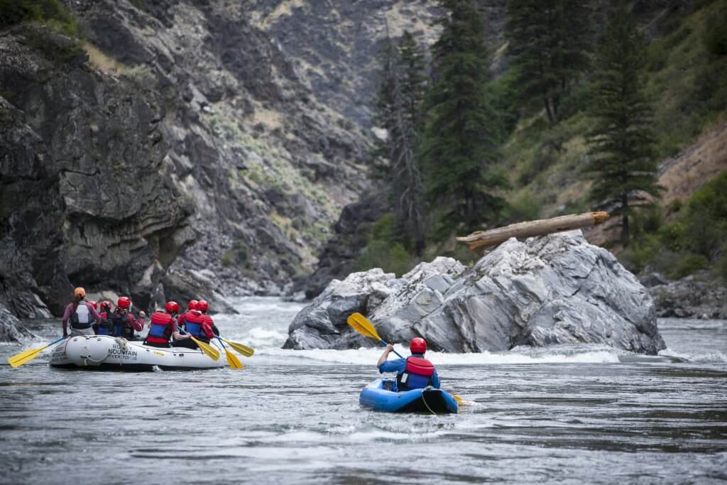
Photo courtesy of American Whitewater
Description
Take Out is the terminal rapid before the takeout point, characterized by a tight channel with scattered mid-stream boulders that require precise boat positioning. The rapid offers minimal technical challenge but demands careful navigation to avoid potential pin spots among the rocks, particularly at lower water levels.
Location
Other Rapids on This Run (1)

View Full Run
T786 to US Route 220
Larrys Creek
I-III
21.5 mi
Current Conditions
5-Day Forecast
Whitewater data from
American Whitewater
American Whitewater