Gauge Conditions
Data from American Whitewater & USGS
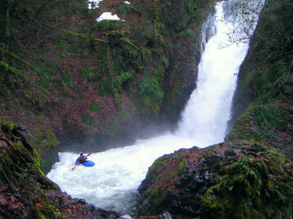
Photo
Photo courtesy of American Whitewater
Description
Take Out rapid marks the end of the Falls Branch run, featuring a complex exit with scattered boulder gardens and potential shallow rock ledges that demand precise boat positioning. Paddlers should be prepared for potential pinning hazards and carefully scout the final section to identify the cleanest route through the terminal rapid. While not classified with a specific difficulty rating, the rapid requires attentive navigation and skilled maneuvering to safely conclude the 9-mile section.
Location
Other Rapids on This Run (1)
View Full Run
Tarlton Flats to NFS Road 1200 near Bass (9 miles)
Falls Branch
III-V
8.8 mi
Current Conditions
5-Day Forecast
Whitewater data from
American Whitewater
American Whitewater