Gauge Conditions
Runnable: ? – ? CFS
Approximate - nearest available gauge. Use as general reference only.
Data from American Whitewater & USGS
Photo
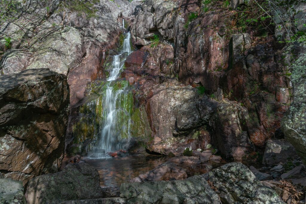
Photo courtesy of American Whitewater
Description
Take Out rapid represents the terminus of this challenging Taum Sauk Creek descent, marking the final technical section before the confluence with Little Taum Sauk Creek. Limited documentation suggests potential route-finding complexity and potential strainer hazards, with paddlers needing to carefully navigate potential low-water rock gardens and potential brush obstacles. Given the limited beta on this section, precise route selection and scouting are recommended for any attempt.
Location
Other Rapids on This Run (1)

View Full Run
Taum Sauk Mountain to Little Taum Sauk Creek (7 miles)
Taum Sauk Creek
IV-V
7.3 mi
Current Conditions
5-Day Forecast
Whitewater data from
American Whitewater
American Whitewater