Gauge Conditions
Runnable: ? – ? CFS
Approximate - nearest available gauge. Use as general reference only.
Data from American Whitewater & USGS
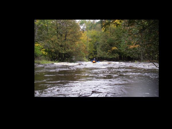
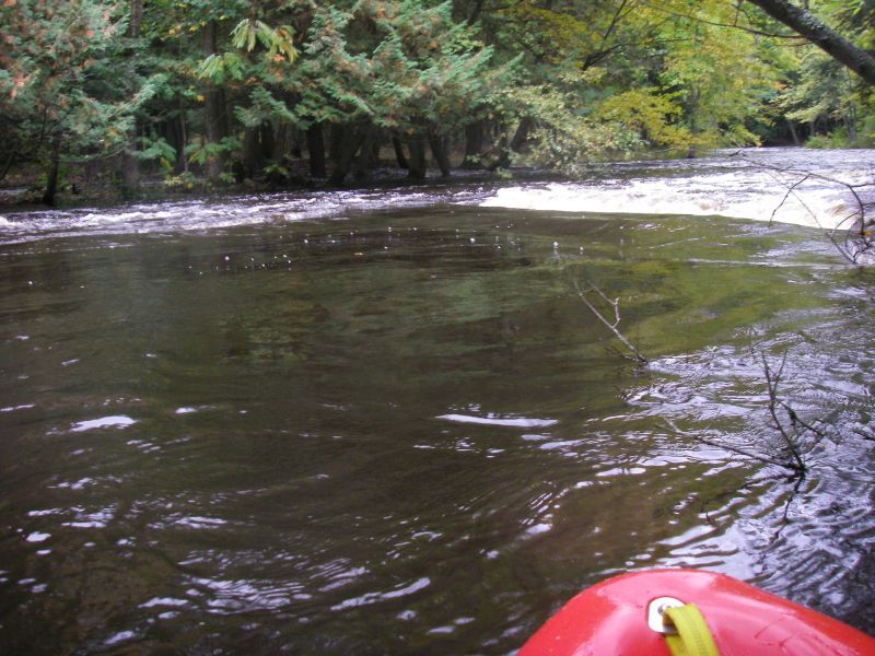
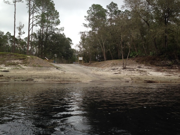
Photo
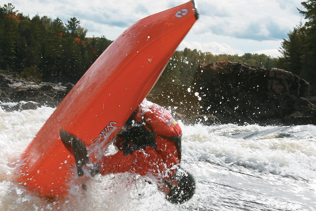
Photo courtesy of American Whitewater
Description
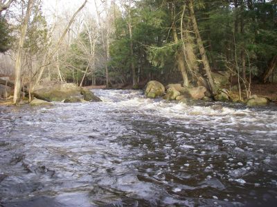
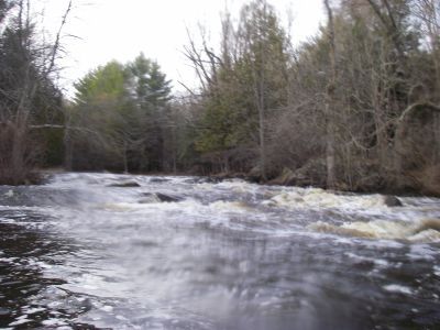
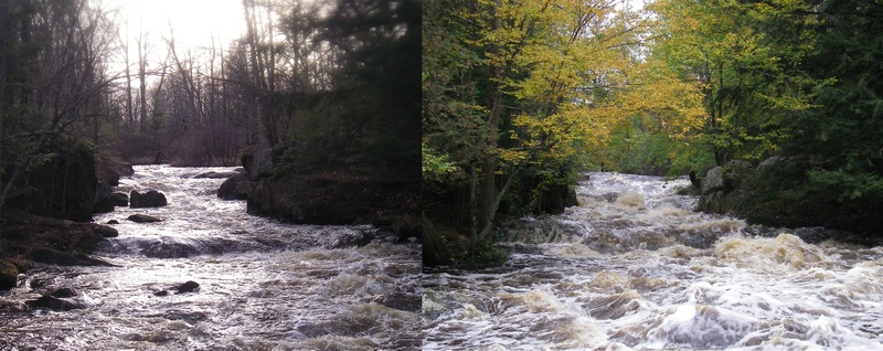
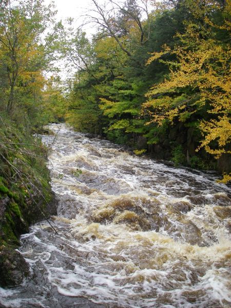
Take Out rapid marks the end of the Tigerton Dells run, signaling the conclusion of a challenging section with potential hazards requiring careful navigation. While specifics are limited, paddlers should be prepared for potential obstructions or changes in water flow near the takeout point, and maintain situational awareness as they approach the end of the 2.4-mile stretch.
Location

View Full Run
Tigerton Dells: Hwy.45 to CTH.M (2.4 miles)
Embarrass, S.Br.
II-III
2.4 mi
Current Conditions
5-Day Forecast
Whitewater data from
American Whitewater
American Whitewater