Gauge Conditions
Data from American Whitewater & USGS
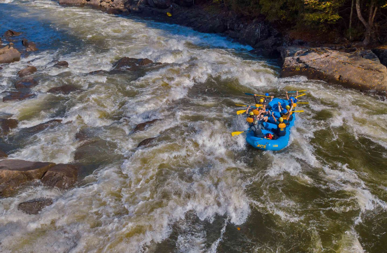
Photo
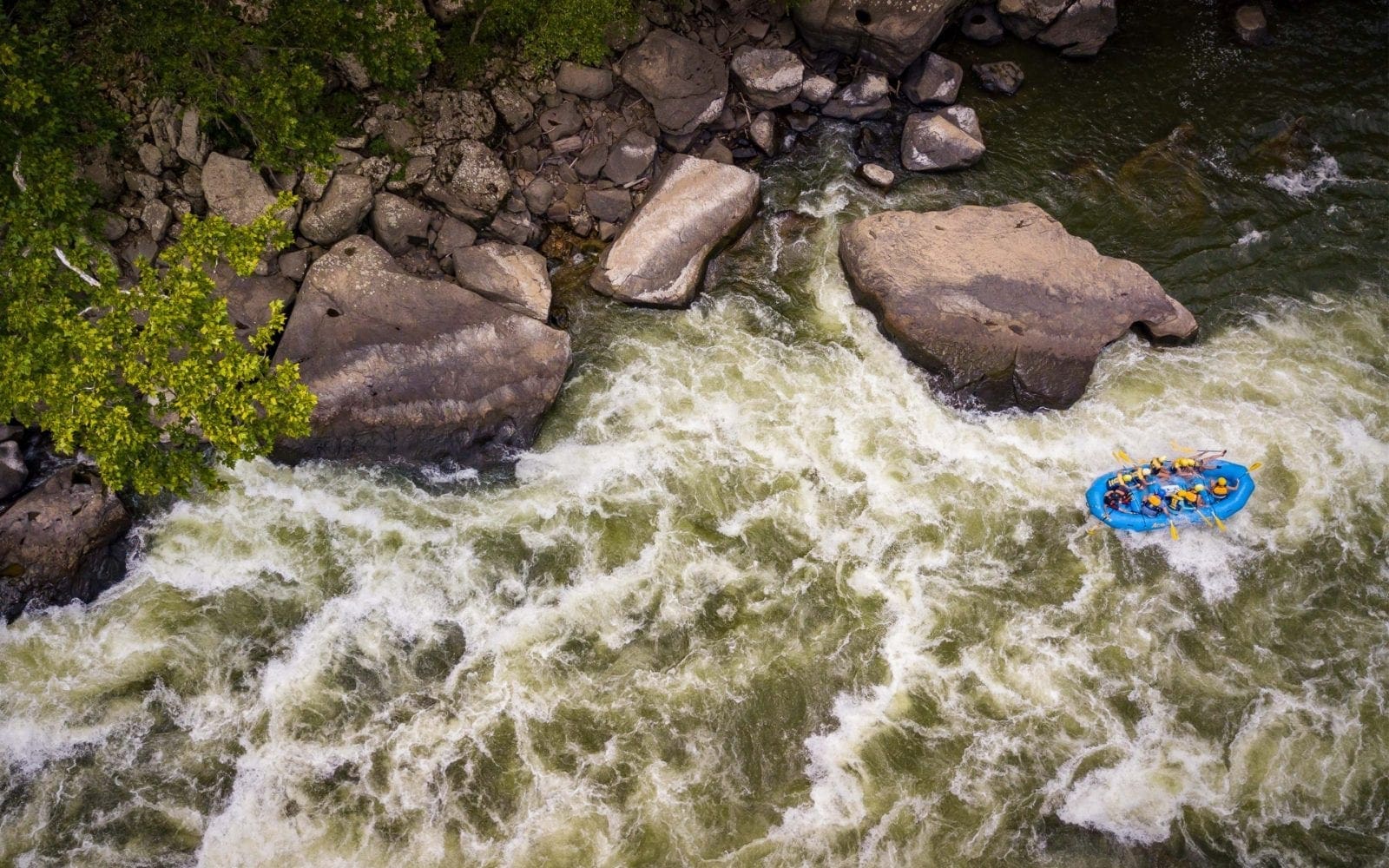
Photo courtesy of American Whitewater
Description
Take Out marks the terminus of the Laurel Run section before merging with the Cheat River, characterized by a shallow, boulder-strewn exit that requires precise maneuvering to avoid pinning or broaching. Paddlers should be prepared for potential rock contacts and navigate carefully through the constricted downstream channel, maintaining awareness of potential debris and limited escape routes.
Location
Other Rapids on This Run (1)
View Full Run
To Cheat River
Laurel Run
V+
1.3 mi
Current Conditions
5-Day Forecast
Whitewater data from
American Whitewater
American Whitewater