Gauge Conditions
Runnable: ? – ? CFS
Approximate - nearest available gauge. Use as general reference only.
Data from American Whitewater & USGS
Photo
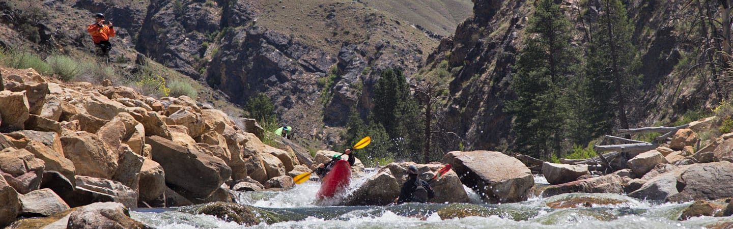
Photo courtesy of American Whitewater
Description
Take Out marks the terminus of the Panther Creek whitewater run, featuring a complex confluence with the Lower Wind River that demands precise maneuvering. Paddlers should be prepared for potential debris, shifting currents, and potential hydraulic features near the river junction that can complicate the exit point. While specific difficulty is unrated, careful route selection and situational awareness are critical when navigating this transition zone.
Location
Other Rapids on This Run (1)

View Full Run
to confluence with Lower Wind River
Panther Creek
IV+
1.3 mi
Current Conditions
5-Day Forecast
Whitewater data from
American Whitewater
American Whitewater