Gauge Conditions
Runnable: ? – ? CFS
Approximate - nearest available gauge. Use as general reference only.
Data from American Whitewater & USGS
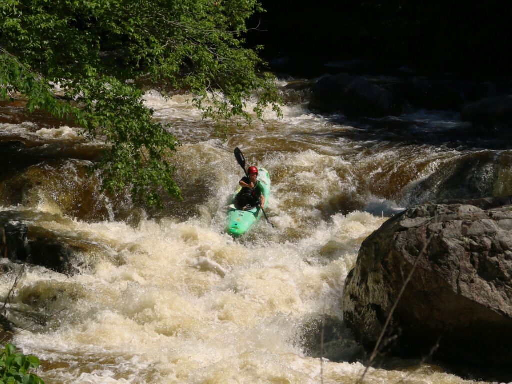
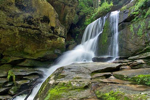
Photo
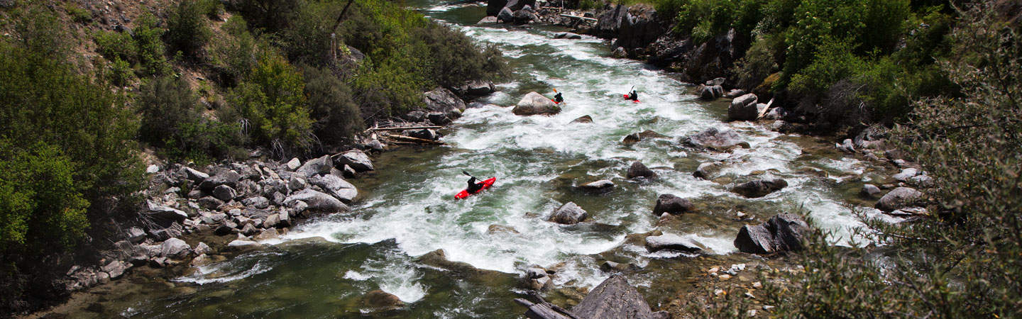
Photo courtesy of American Whitewater
Description
Take Out marks the confluence of Cove Creek with the Green River, serving as a critical transition point for boaters completing their run. While specific technical details are limited, paddlers should be prepared for potential merging currents and potential debris at the river junction, maintaining situational awareness during this transition zone.
Location
Other Rapids on This Run (4)


View Full Run
to Green River
Cove Creek
IV-V(V+)
3.7 mi
Current Conditions
5-Day Forecast
Whitewater data from
American Whitewater
American Whitewater