Gauge Conditions
Runnable: 7.0 – 10.0 FT
Help us out! Add a comment about runnable levels!
Data from American Whitewater & USGS
Photo
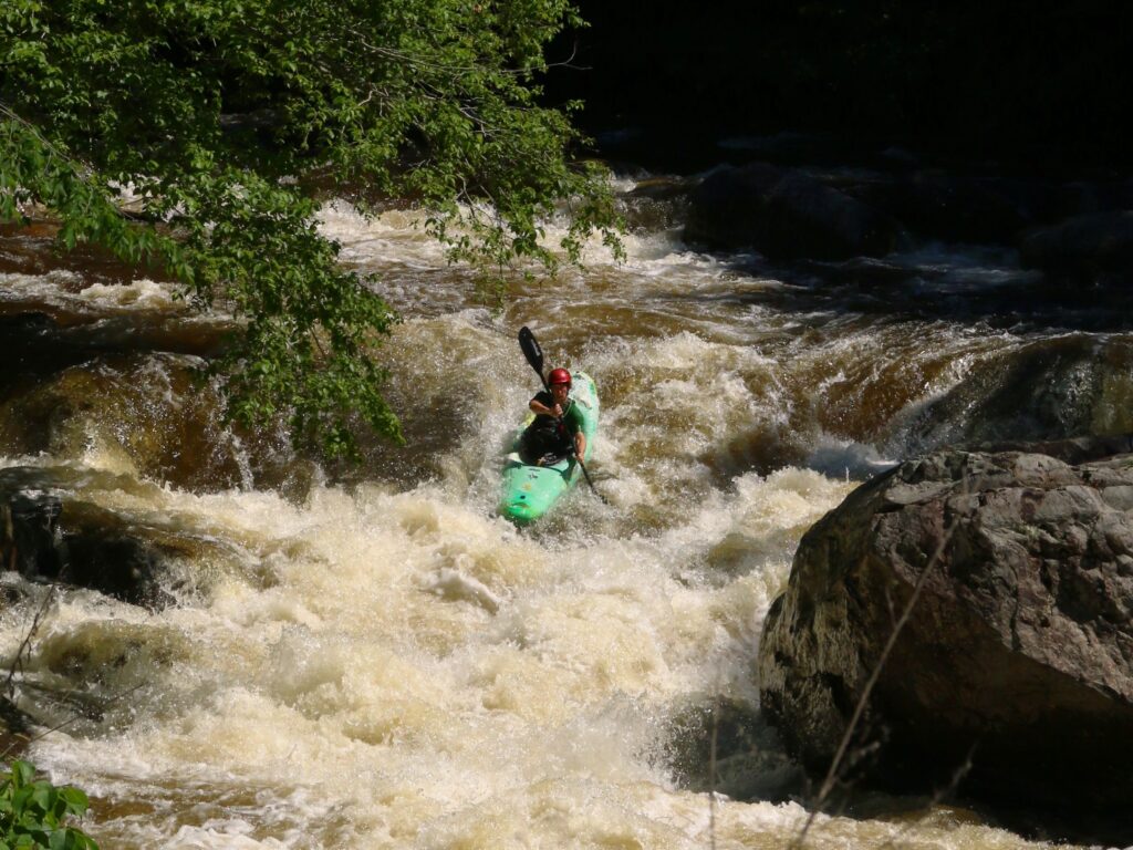
Photo courtesy of American Whitewater
Description
Take Out rapid marks the end of this short Mud Creek section, serving as a transition point to the St. Francis River confluence. Limited information is available about specific navigational challenges or hazards at this location, suggesting paddlers should approach with caution and scout the rapid before attempting passage. Local knowledge and current water conditions will be critical for safe navigation.
Location
Other Rapids on This Run (1)

View Full Run
to St. Francis River confluence (0.5 miles)
Mud Creek
IV+
0.6 mi
Current Conditions
5-Day Forecast
Whitewater data from
American Whitewater
American Whitewater