Take-out
MO
Take Out
Turkey Creek - to St. Francis River confluence (1.0 mi + 0.75 mi on St. Francis) (MO)
Gauge Conditions
Data from American Whitewater & USGS
Photo
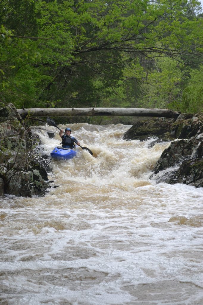
Photo courtesy of American Whitewater
Description
Take Out marks the end of the Turkey Creek whitewater run, transitioning paddlers into the St. Francis River confluence. While specifics are limited, the rapid likely involves navigating potential debris, gradient changes, or local geological features that require careful maneuvering at the river's exit point. Paddlers should scout the confluence carefully and be prepared for potential Class II-III conditions depending on water levels.
Location
Other Rapids on This Run (1)

View Full Run
to St. Francis River confluence (1.0 mi + 0.75 mi on St. Francis)
Turkey Creek
III-IV
1.9 mi
Current Conditions
5-Day Forecast
Whitewater data from
American Whitewater
American Whitewater