Gauge Conditions
Data from American Whitewater & USGS
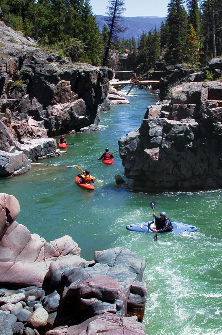
Photo

Photo courtesy of American Whitewater
Description
Take Out rapid marks the end of the Clarks Fork Yellowstone run, serving as a critical transition point before the state line. Limited beta exists on this section due to its remote and challenging access, suggesting paddlers should be prepared for potential unknown hazards and carefully scout the rapid's specific characteristics. Precise navigation and situational awareness are essential, as the rapid likely presents complex hydraulics and potential route-finding challenges in this wilderness environment.
Location
Other Rapids on This Run (1)
View Full Run
Trailhead to State line
Clarks Fork Yellowstone
IV
4.2 mi
Current Conditions
5-Day Forecast
Whitewater data from
American Whitewater
American Whitewater