Gauge Conditions
Runnable: 300.0 – 1,000.0 CFS
Likely under 100 cfs. Almost certainly too low for reasonable whitewater. Please help fellow boaters with a comment or report regarding gauge and runnability.
Data from American Whitewater & USGS
Photo
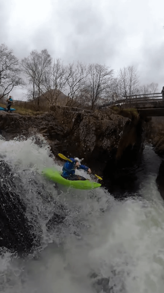
Photo courtesy of American Whitewater
Description
Take Out rapid marks the end of this North Fish Creek run, featuring a straightforward exit point with potential debris and small rock gardens that require careful boat positioning. Paddlers should be aware of potential strainers near the river banks and maintain situational awareness when approaching the takeout area, especially during lower water levels when navigation becomes more technical.
Location
Other Rapids on This Run (3)
View Full Run
U.S.2 to Old U.S.2 (7.77 miles)
North Fish Creek
I-II
7.1 mi
Current Conditions
5-Day Forecast
Whitewater data from
American Whitewater
American Whitewater